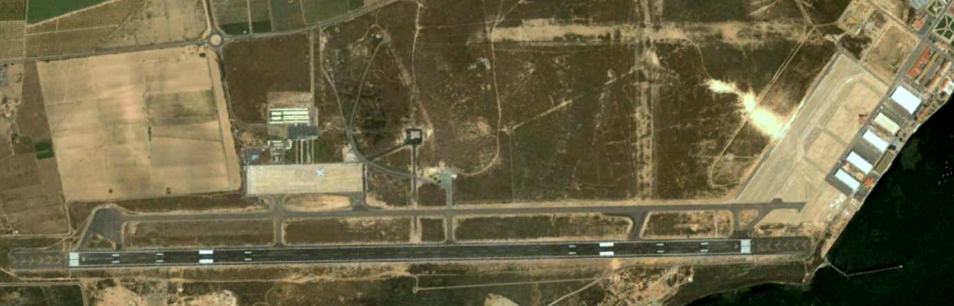
This aerial documentation captures the landscape evolution of San Javier in the Murcia region, examining the transformation of terrain usage and settlement patterns between 2002 and 2018. The visual record illustrates substantial modifications to the territorial fabric during this sixteen-year observation period.
The comparative imagery provides evidence of significant infrastructural development and changes to the built environment within this Mediterranean coastal municipality. The documentation serves as a reference point for understanding contemporary patterns of spatial reorganization in southeastern Spain.