Visual documentation of landscape transformation in Santa Águeda, located in Gran Canaria within the Las Palmas province. This comparison captures territorial changes occurring between 2000 and 2017, illustrating the evolution of land use patterns and infrastructure development in this Canary Islands location.
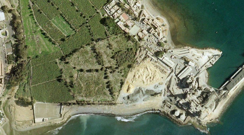
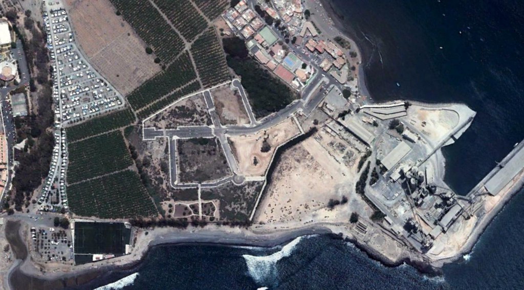
The visual record documents modifications to the territorial fabric across a seventeen-year period. The comparative imagery provides evidence of infrastructural expansion and changes to the natural landscape configuration.