This comparative documentation captures the territorial transformation observed in Santa María de Benquerencia, located in Toledo. The visual evidence presents the landscape evolution between 2002 and 2012, illustrating the conversion of agricultural terrain into developed urban infrastructure.
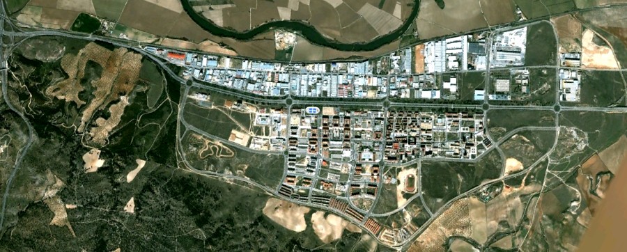
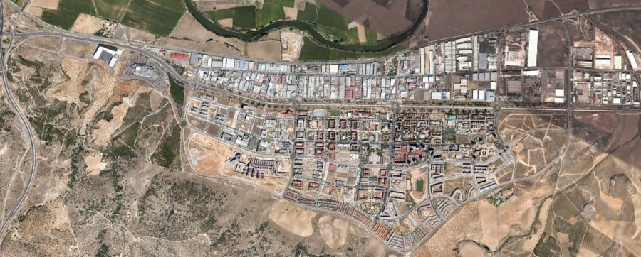
The images document the substantial changes that occurred in this district over a decade-long period. The landscape shifted from predominantly rural character to urbanized residential development, featuring constructed housing estates, transportation corridors, and circular road junctions characteristic of contemporary Spanish suburban planning.