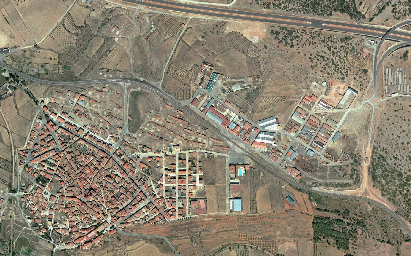
Visual comparison documenting landscape transformation over a decade:
2002
2012
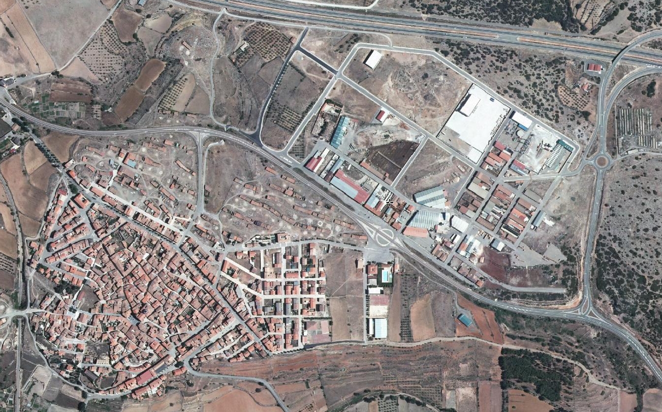
This aerial documentation captures the evolution of land use patterns in Sarrión, a municipality within the province of Teruel. The comparative imagery reveals changes in infrastructure development and territorial organization between the two time periods studied.