February 17, 2014
Sodupe, Bizkaia
This aerial comparison documents landscape evolution in the Sodupe area of Bizkaia over a twenty-one year period. The images capture changes in land use patterns, infrastructure development, and settlement expansion between 1991 and 2012.
Visual Record: Two Decades of Change
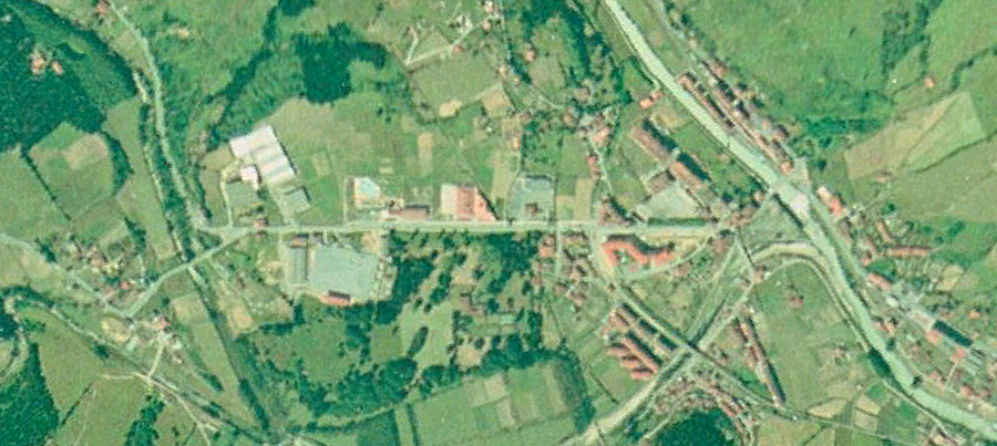
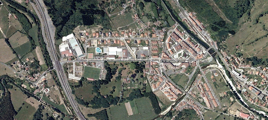
The parallel documentation allows for observation of territorial modification patterns characteristic of the studied period. Visible transformations include alterations to the built environment and shifts in land occupation density.