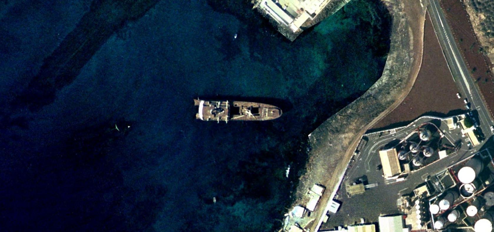
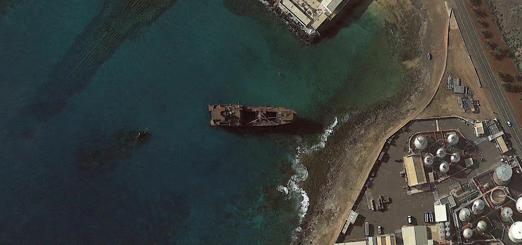
Visual documentation captures the territorial transformation of coastal Lanzarote. The comparative imagery reveals substantial infrastructure development and land use modification between 2000 and 2015. This location demonstrates characteristic patterns of coastal urbanization observed throughout the Canary Islands during the construction boom period.