May 17, 2017
Paradise Development, Guadalajara
Published by Esteban García
Visual documentation captures the territorial evolution of Paradise Development in Guadalajara between 2002 and 2015. The aerial imagery reveals the comprehensive transformation from undeveloped agricultural terrain to a structured residential and infrastructure network.
2002
2015
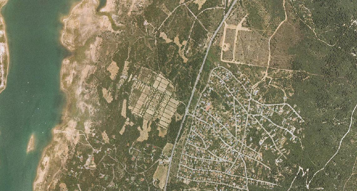
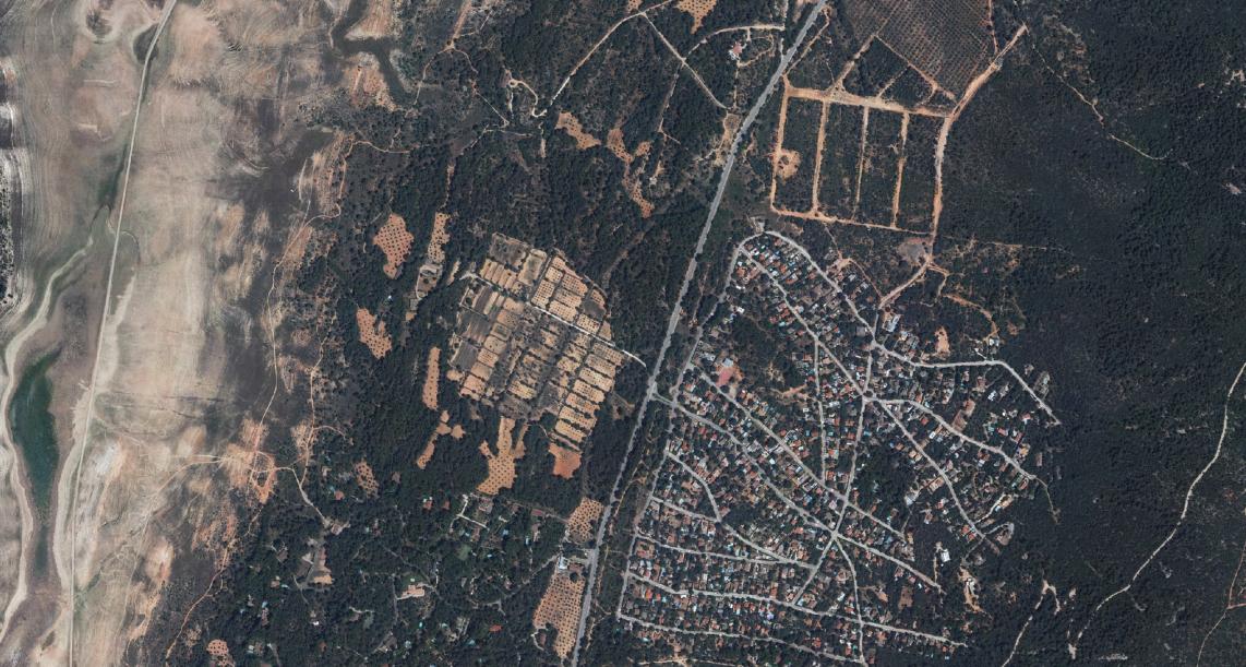
The visual comparison documents the conversion of open agricultural land into a planned residential development featuring standardized housing blocks, connecting roadways including characteristic roundabouts, and organized street grid patterns typical of Spanish suburban expansion during the 2000-2010 period.
Tagged:
Guadalajara
Paradise Development