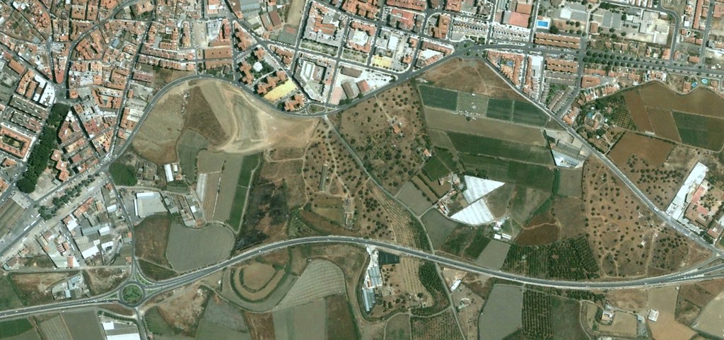
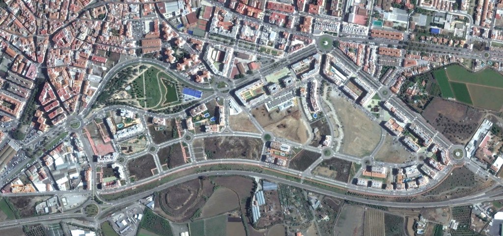
Interactive comparison showing territorial transformation between 2002 and 2013
This visual documentation captures the landscape evolution in the Vélez-Málaga municipality over an eleven-year period. The aerial imagery reveals substantial changes in land use patterns, with notable expansion of built infrastructure and modifications to the previously agricultural terrain.
The comparison between these two temporal markers illustrates the progression of urban development processes characteristic of Spain's Mediterranean coastal regions during the early 21st century.