Visual documentation of territorial transformation patterns observed in Alosno, a municipality located in Huelva province, southwestern Spain. The comparative aerial imagery reveals changes in land use and development between the early 2000s and the 2010s.
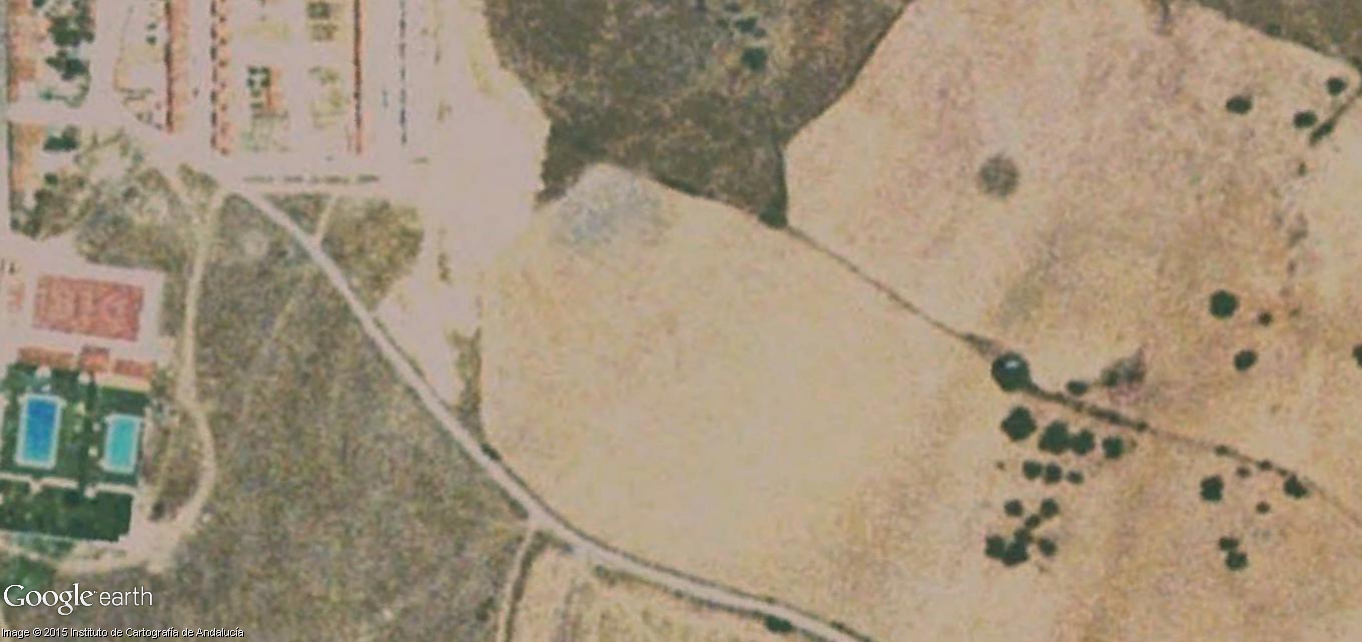
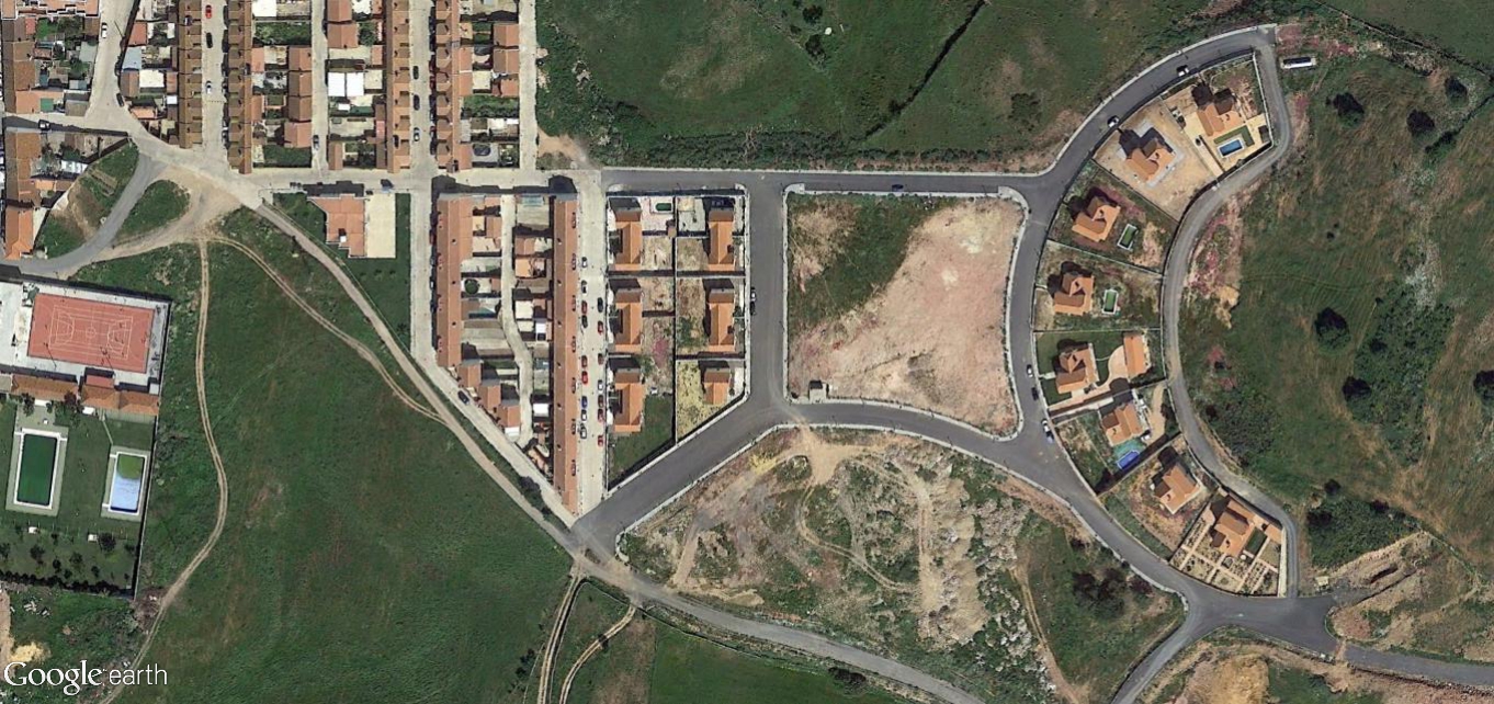
The documentation captures the physical evolution of this territory through comparative satellite and aerial photography, illustrating how rural landscapes underwent modification during Spain's construction expansion period.