Visual documentation of territorial development in Barbastro, Huesca province, examining landscape transformation between 2003 and 2012. The comparative imagery reveals patterns of urban expansion and infrastructure development characteristic of this period in Spanish provincial cities.
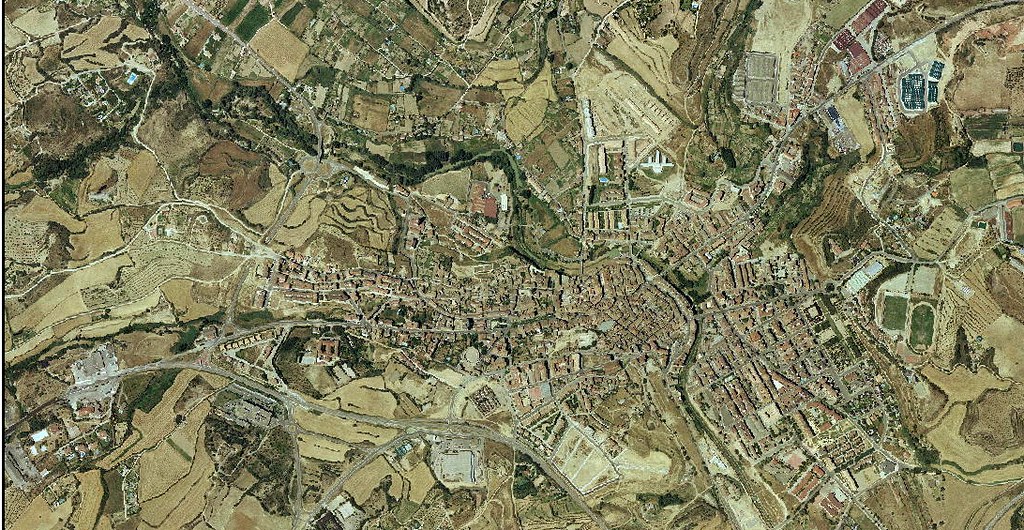
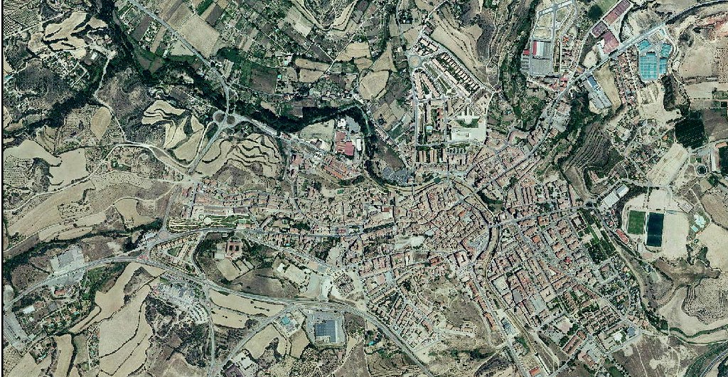
The imagery sequence documents significant changes to the urban perimeter, including new roadway infrastructure and residential development zones. This visual record provides evidence of the territorial transformation that occurred during the early 21st century expansion phase.