May 24, 2017
Bollullos Par del Condado, Huelva
2005
2016
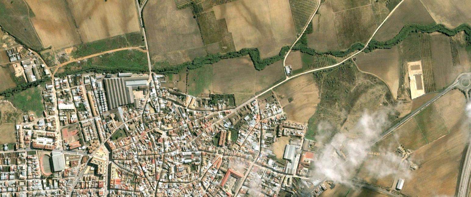
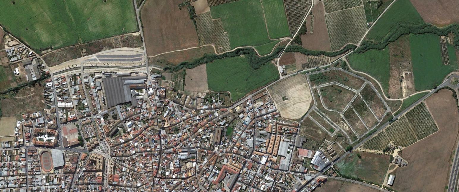
This comparative documentation captures the territorial transformation in Bollullos Par del Condado, located in the province of Huelva. The aerial imagery presents visual evidence of landscape modifications occurring between 2005 and 2016, illustrating the patterns of urban expansion and infrastructure development characteristic of this period in Spanish territorial planning.
The photographic record demonstrates the evolution of land use patterns, revealing changes in the built environment and the relationship between urban fabric and surrounding agricultural areas. These images serve as documentary evidence of the spatial reorganization that occurred during a significant period of territorial change.