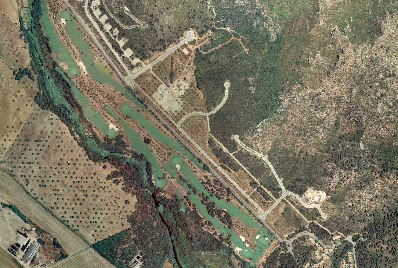
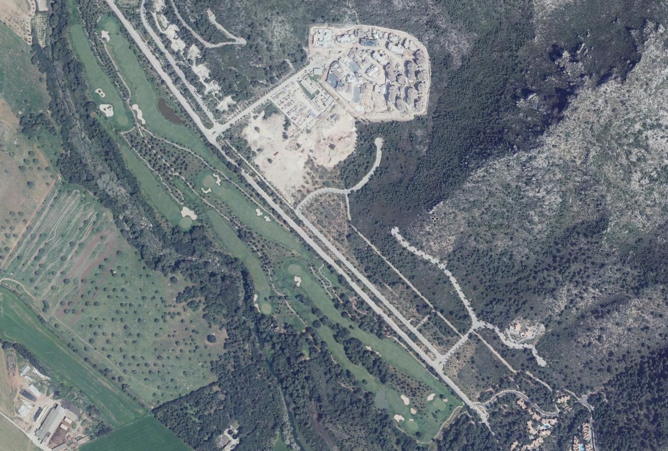
This comparative documentation captures the physical transformation of Canyamel's coastal territory over an eight-year period. The imagery provides visual evidence of land use changes in this Mallorcan locality, showing the evolution from an earlier landscape configuration to one marked by increased infrastructure and built environment.
The temporal comparison reveals patterns common to coastal development zones during Spain's expansion period, where previously undeveloped or agricultural land transitioned to accommodate residential and transportation systems.