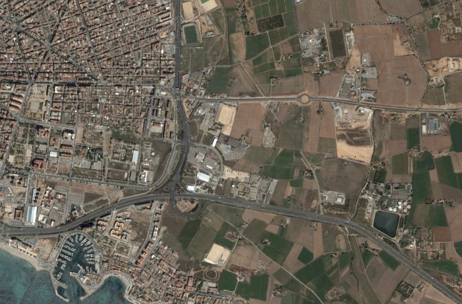
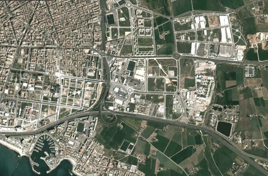
This visual comparison documents the landscape transformation in the eastern sector of Palma de Mallorca, capital of the Balearic Islands, spanning a decade from 2002 to 2012. The aerial imagery reveals significant territorial changes including residential development, infrastructure expansion, and altered land use patterns characteristic of Mediterranean coastal urbanization during this period.