This comparative analysis presents aerial imagery documenting territorial changes in Castellolí over an eight-year period. The visual evidence shows the modification of land use patterns between 2004 and 2012.
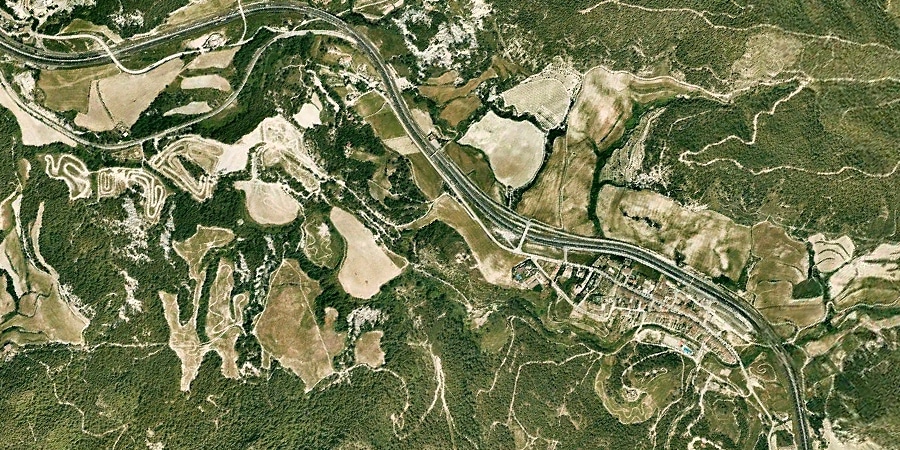
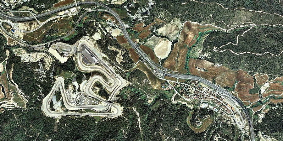
Visual documentation of landscape transformation patterns in this Barcelona municipality
This comparative analysis presents aerial imagery documenting territorial changes in Castellolí over an eight-year period. The visual evidence shows the modification of land use patterns between 2004 and 2012.