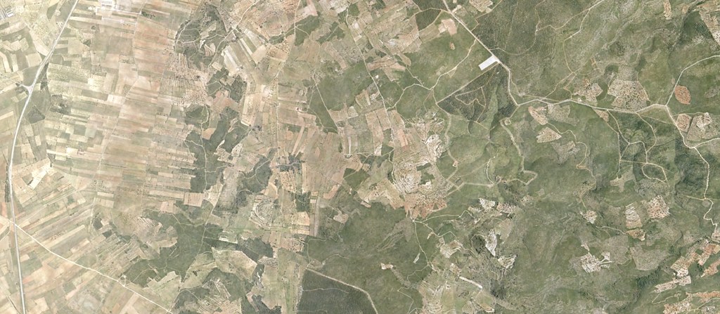
This aerial documentation captures the transformation of agricultural terrain into aviation infrastructure. The comparative imagery illustrates the territorial scale of the development between 2003 and 2012.
2003
2012
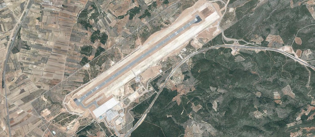
The visual record documents the complete reconfiguration of the landscape, including runway construction, terminal facilities, and the development of connecting road infrastructure including characteristic circular intersections.