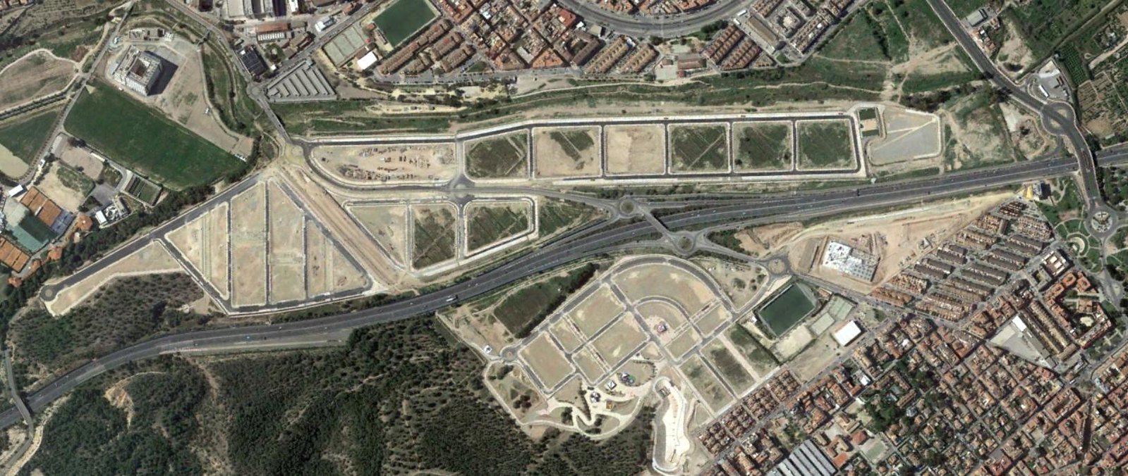
Comparative aerial documentation between 2002 and 2017 reveals significant shifts in land utilization patterns in the El Palmar-Alberca las Torres corridor. The imagery captures the transformation of previously agricultural terrain into developed infrastructure networks.
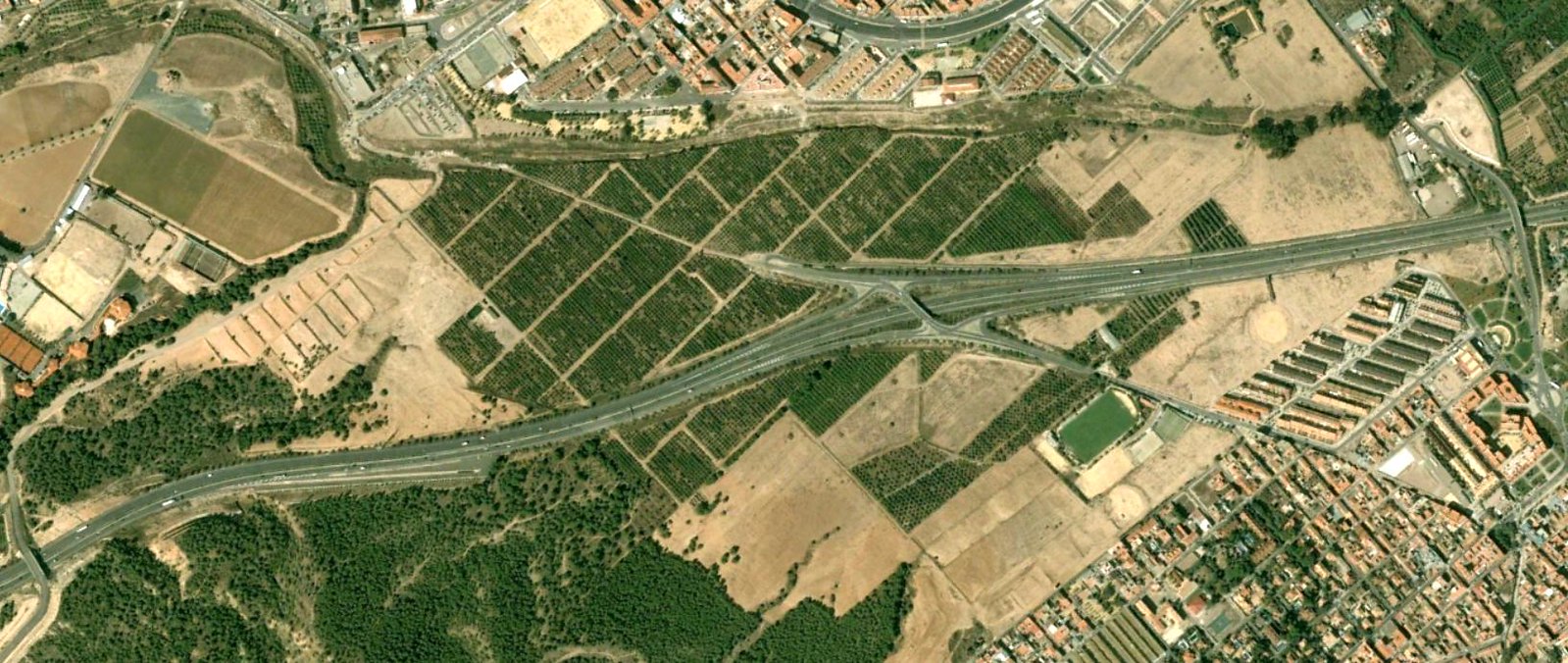
The visual records demonstrate the emergence of new circulation patterns and built environment expansion during this fifteen-year interval. These changes represent documented examples of urban growth dynamics characteristic of the region during the early 21st century.