Comparative aerial documentation reveals the transformation of peripheral zones in this Riojan municipality over a nine-year interval. The imagery captures the expansion of infrastructure networks and modifications to the territorial fabric between 2006 and 2015.
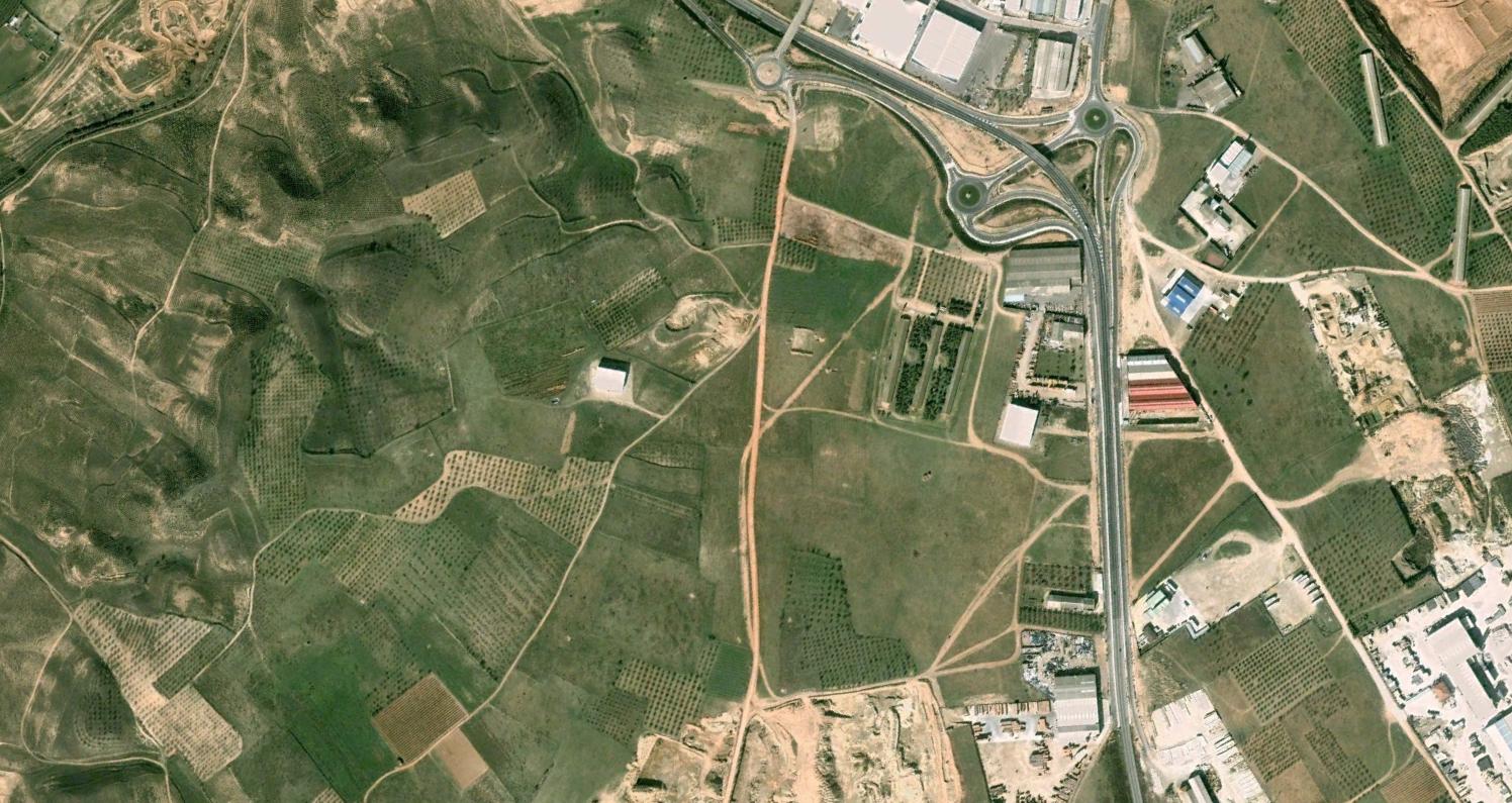
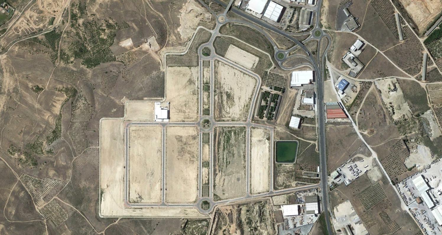
The visual record shows the development of roadway circulation patterns and the material reorganization of previously undeveloped land. This documentation forms part of a broader inventory examining territorial change across Spanish regions during the early 21st century.