Aerial documentation captures the substantial transformation of this municipality near Valladolid between 2004 and 2013. The satellite imagery reveals the conversion of agricultural terrain into developed urban fabric, illustrating patterns of metropolitan expansion characteristic of the era.
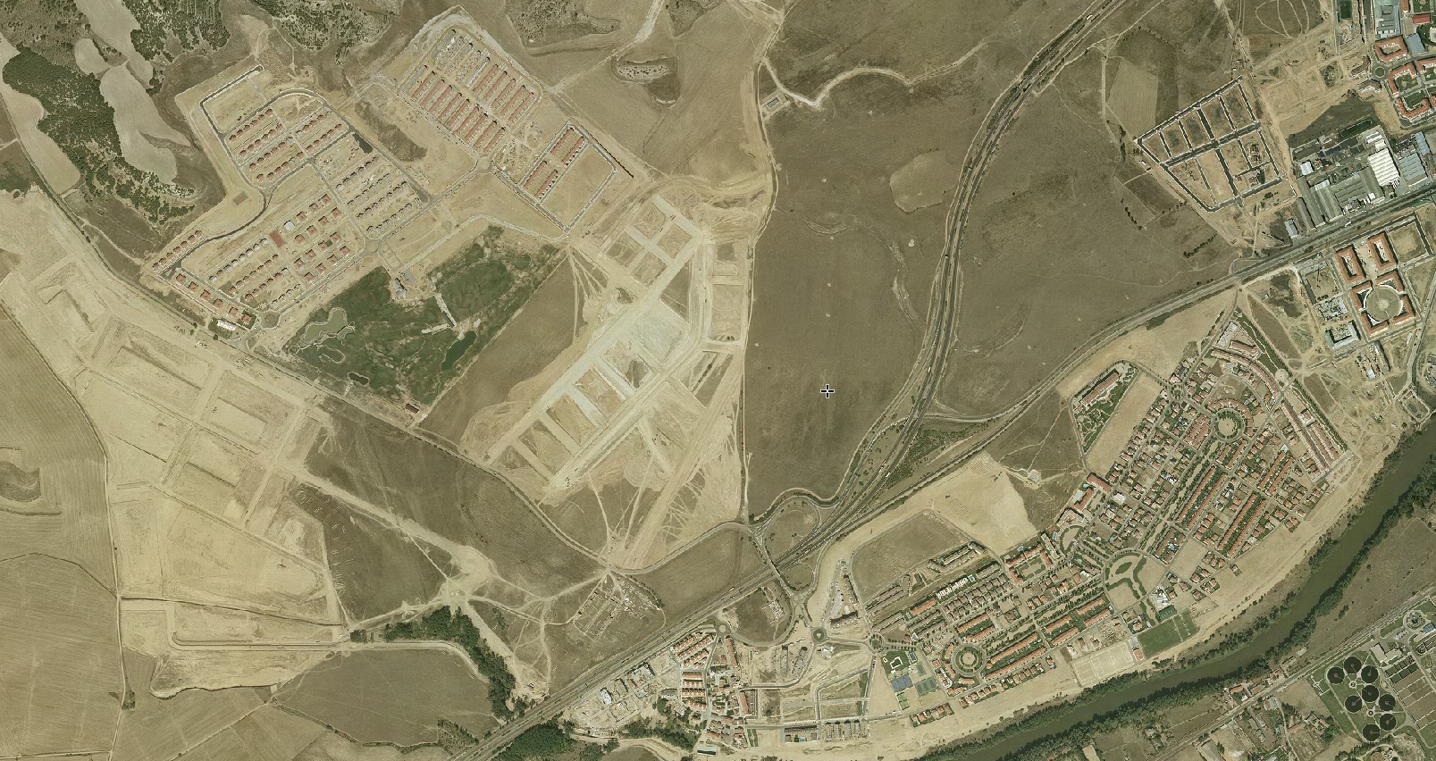
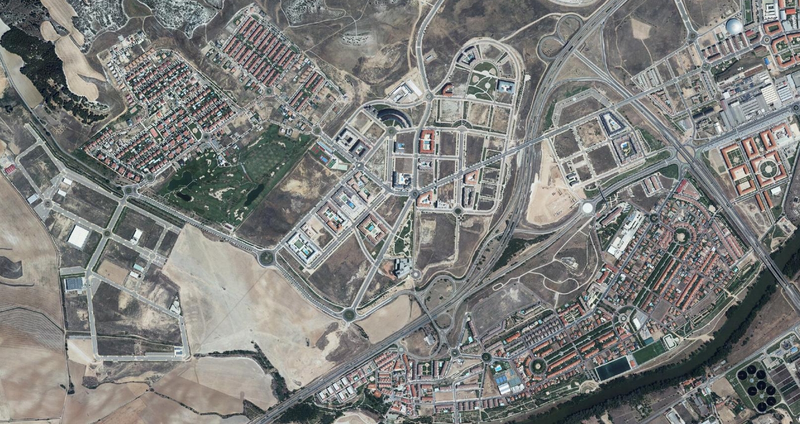
The comparative analysis documents the emergence of residential neighborhoods, infrastructure networks including roundabouts, and transportation corridors where open countryside previously existed. This visual record provides evidence of the rapid spatial reconfiguration common to Spanish metropolitan peripheries during this period.