Visual documentation of territorial transformation in Atarfe, located in the metropolitan area of Granada. The comparative aerial imagery reveals the extent of urban expansion and infrastructure development that occurred between 2004 and 2012.
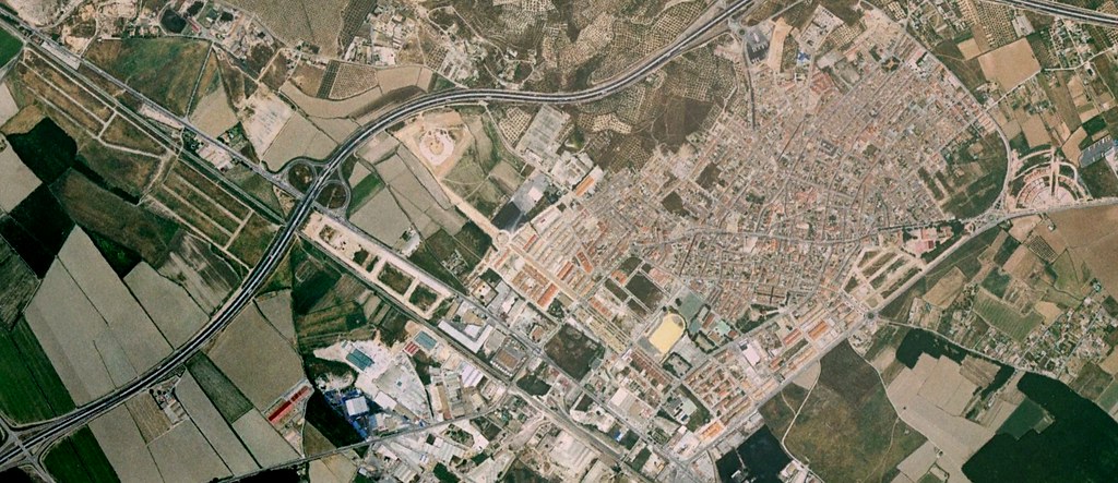
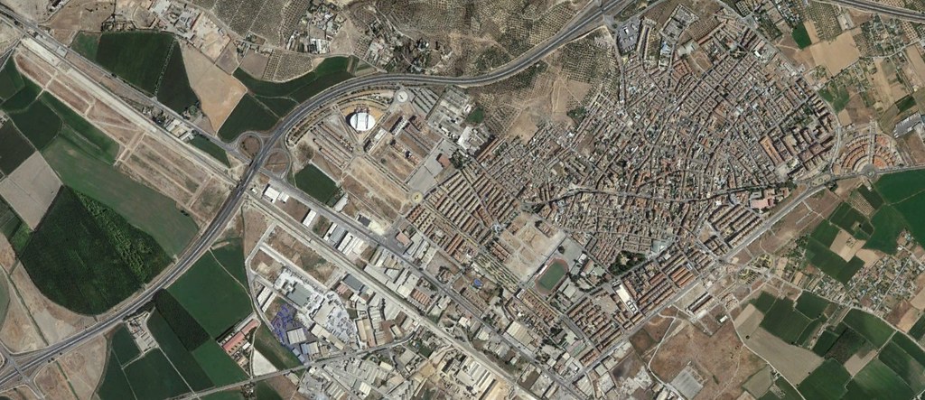
The images document the rapid conversion of agricultural territory into residential and commercial developments, accompanied by the construction of major roadway systems including multiple traffic roundabouts characteristic of Spanish suburban sprawl patterns during this period.