This visual comparison documents landscape modifications in the coastal area of Bajamar, located in the municipality of Santa Cruz de Tenerife on the island of Tenerife. The analysis presents aerial imagery from two distinct time periods, providing evidence of territorial evolution over more than a decade.
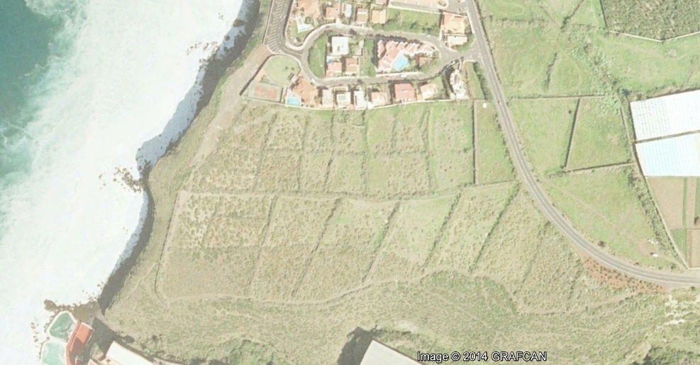
The comparative imagery reveals the extent of construction activity and land use transformation that occurred in this coastal settlement between 2000 and 2013, offering insight into the broader patterns of territorial development observed throughout the Spanish archipelagos during this period.