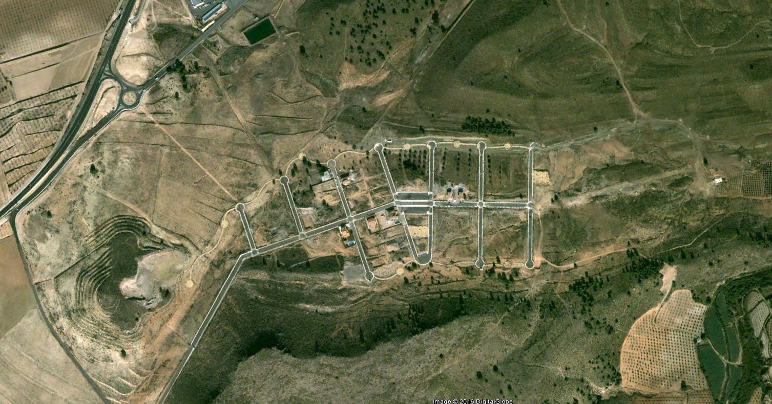
Landscape condition documented 2003
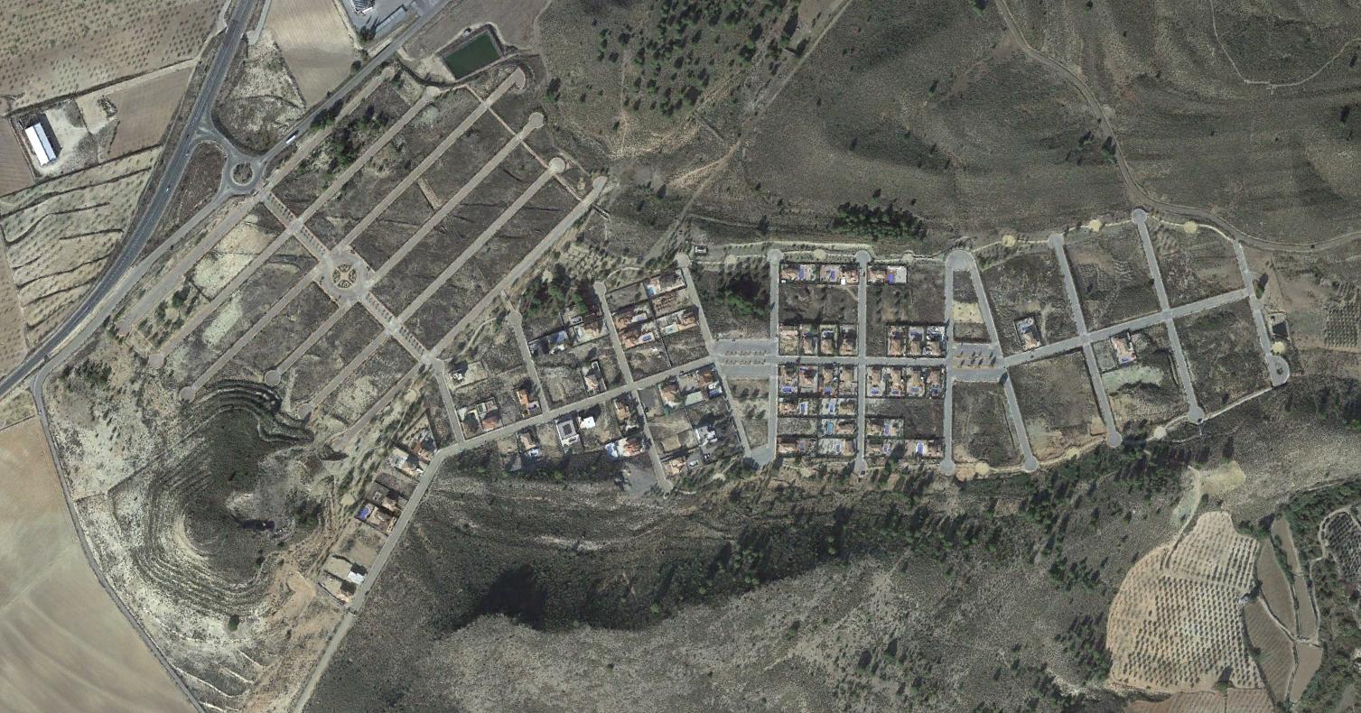
Landscape condition documented 2014
This comparative documentation captures the transformation of terrain in the Coto Riñales area of Murcia over an eleven-year interval. The imagery reveals the conversion of agricultural landscape into developed infrastructure including roadway networks and circular traffic junctions characteristic of contemporary suburban expansion patterns.