February 6, 2014
Cuarte, Huesca
This visual record documents the territorial transformation observed in Cuarte, located in the Huesca province. The comparative imagery captures the landscape evolution between the early 2000s and the following decade, revealing patterns of suburban expansion and infrastructure development characteristic of this period in Spain.
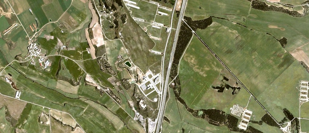 2003
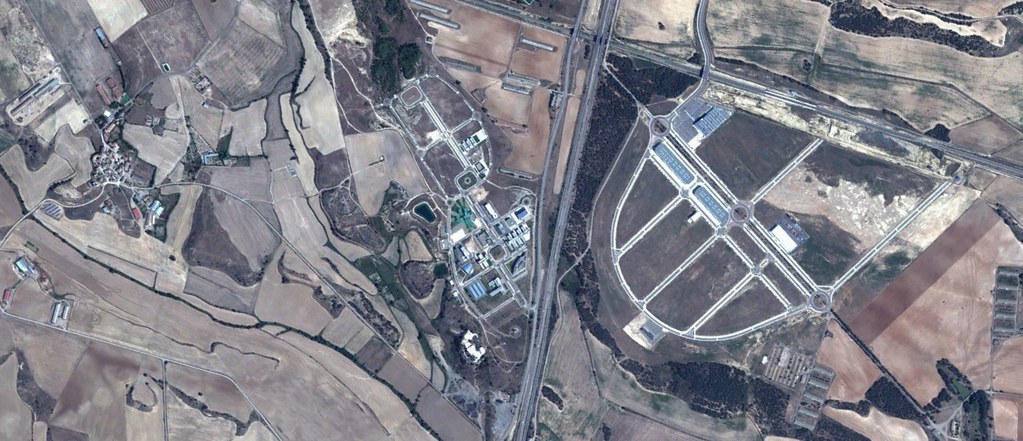 2012
The sequence illustrates the conversion of previously rural terrain into residential and commercial zones, accompanied by new road infrastructure. These images form part of a broader documentation effort examining land-use transformation across the Iberian territory during the years surrounding the property development boom.