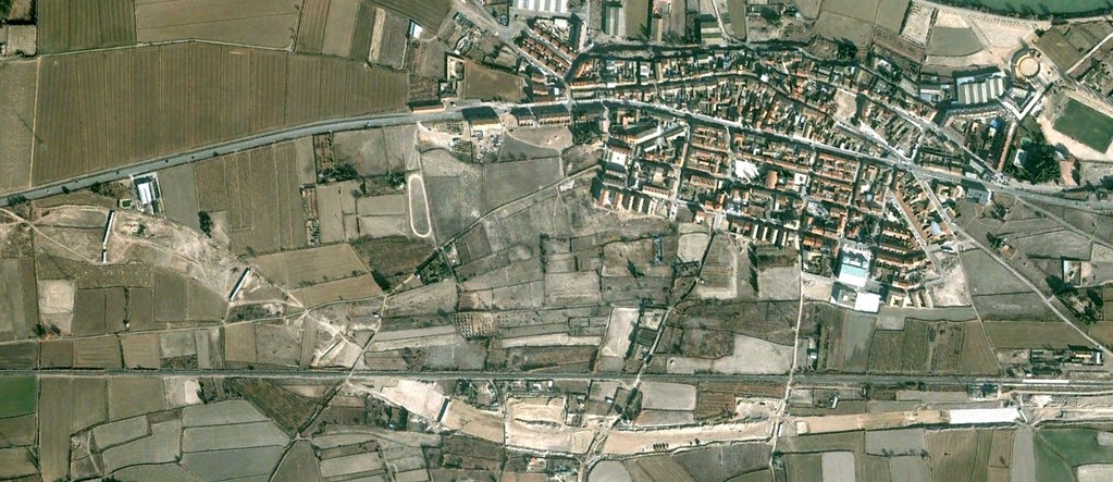
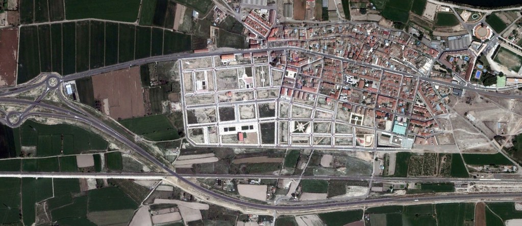
Visual documentation captures the spatial evolution of El Burgo de Ebro in the Zaragoza province. The comparative imagery presents the territorial changes that occurred between 2007 and 2012, illustrating the modification of land use patterns during this period.
The satellite and aerial photography sequence documents the development of infrastructure and built environment in this municipality near the Ebro River. These visual records serve as evidence of the landscape transformation processes that characterized Spanish urban expansion during the mid-2000s.