February 3, 2015
El Pont de Príncep, Girona
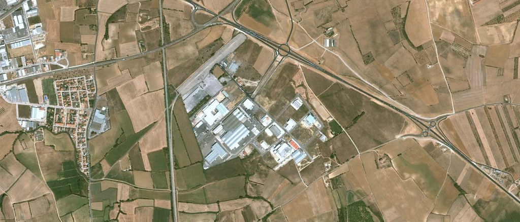
2003
2010
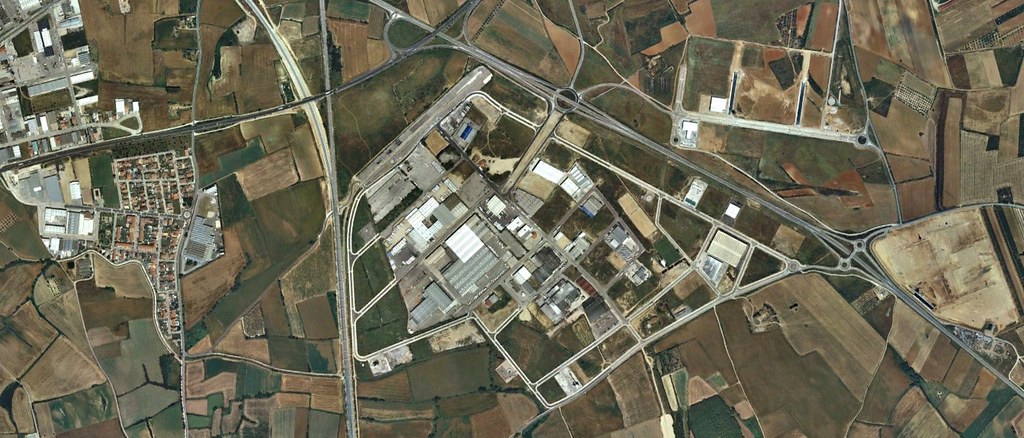
This visual record documents the transformation of the landscape at El Pont de Príncep in Girona between 2003 and 2010. The comparative imagery reveals significant changes in land use patterns and infrastructure development across the territory during this seven-year period.
The earlier photograph captures an undeveloped landscape characterized by agricultural fields and natural terrain. By 2010, the same viewpoint shows the emergence of road infrastructure, including roundabouts and paved surfaces, marking a transition from rural to developed space.