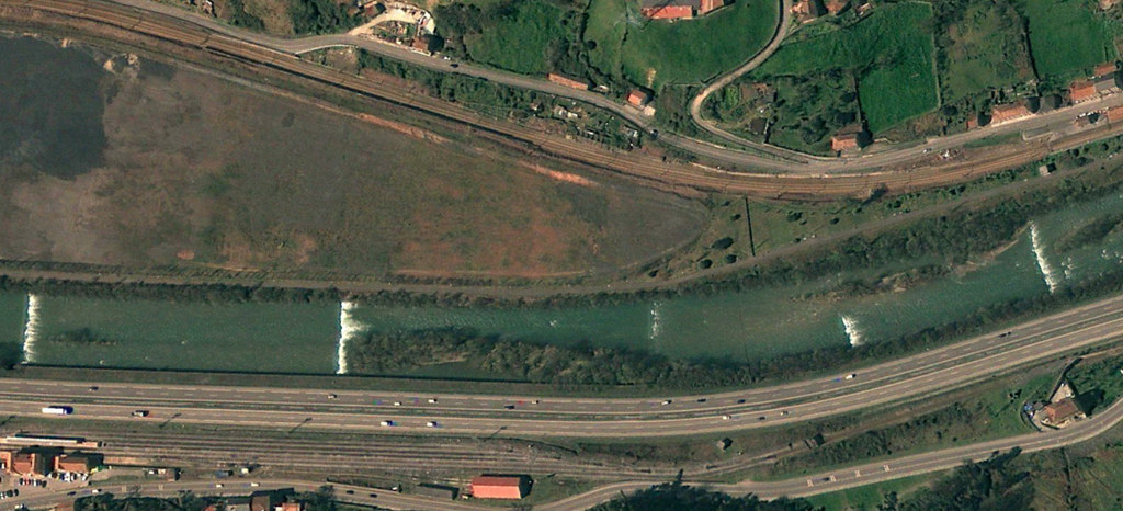
This visual documentation captures the territorial transformation in Figaredo, a locality in Asturias, over a seven-year period between 2009 and 2016.
2009
2016
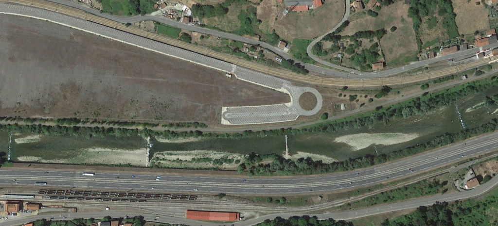
The comparative imagery reveals modifications to the landscape during this timeframe, documenting changes in road infrastructure and land use patterns within this Asturian territory.