Visual documentation of territorial transformation in Fraga reveals the evolution of land use patterns in the Aragonese municipality between 2006 and 2013. The comparative imagery captures the physical reshaping of the landscape during a period of significant infrastructure development.
Temporal Comparison: 2006 vs 2013
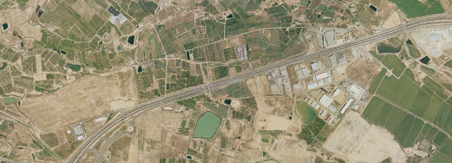
2006
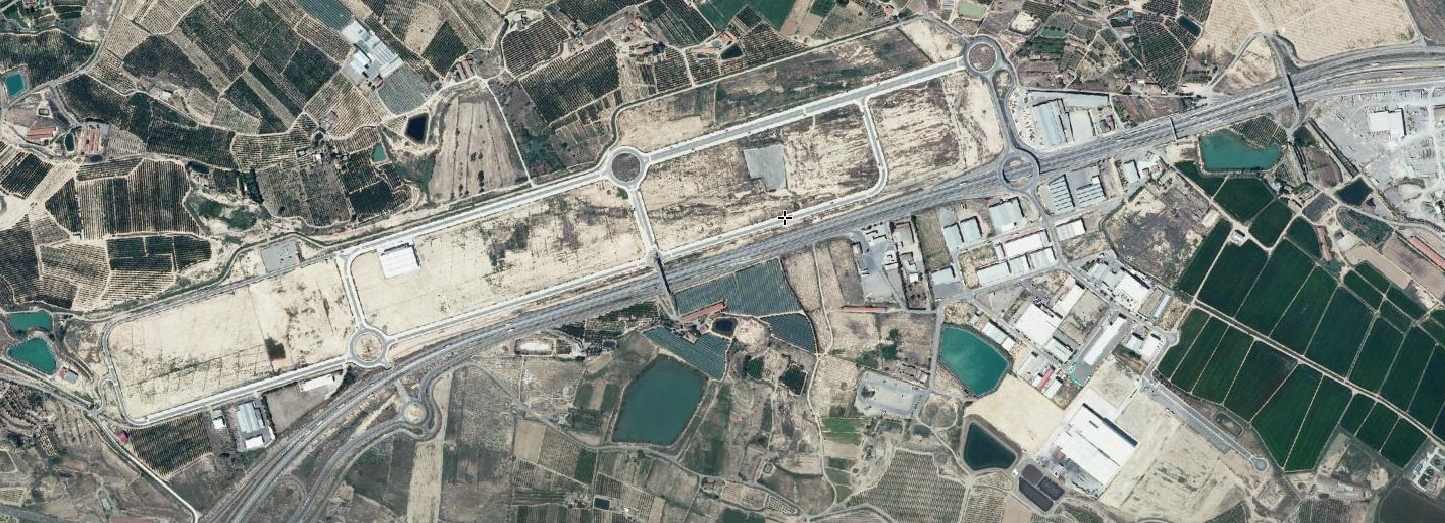
2013
The aerial perspectives document changes in the built environment and circulation infrastructure across this timeframe. Observable modifications include alterations to road networks and the transformation of previously undeveloped terrain.