This visual comparison documents territorial transformation in the Golf Puntiró area of Mallorca between 2002 and 2014. The images reveal how agricultural and natural landscapes evolved into developed golf course infrastructure and associated urban expansion during Spain's construction boom period.
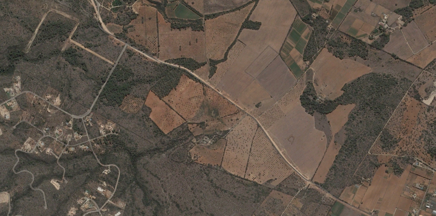
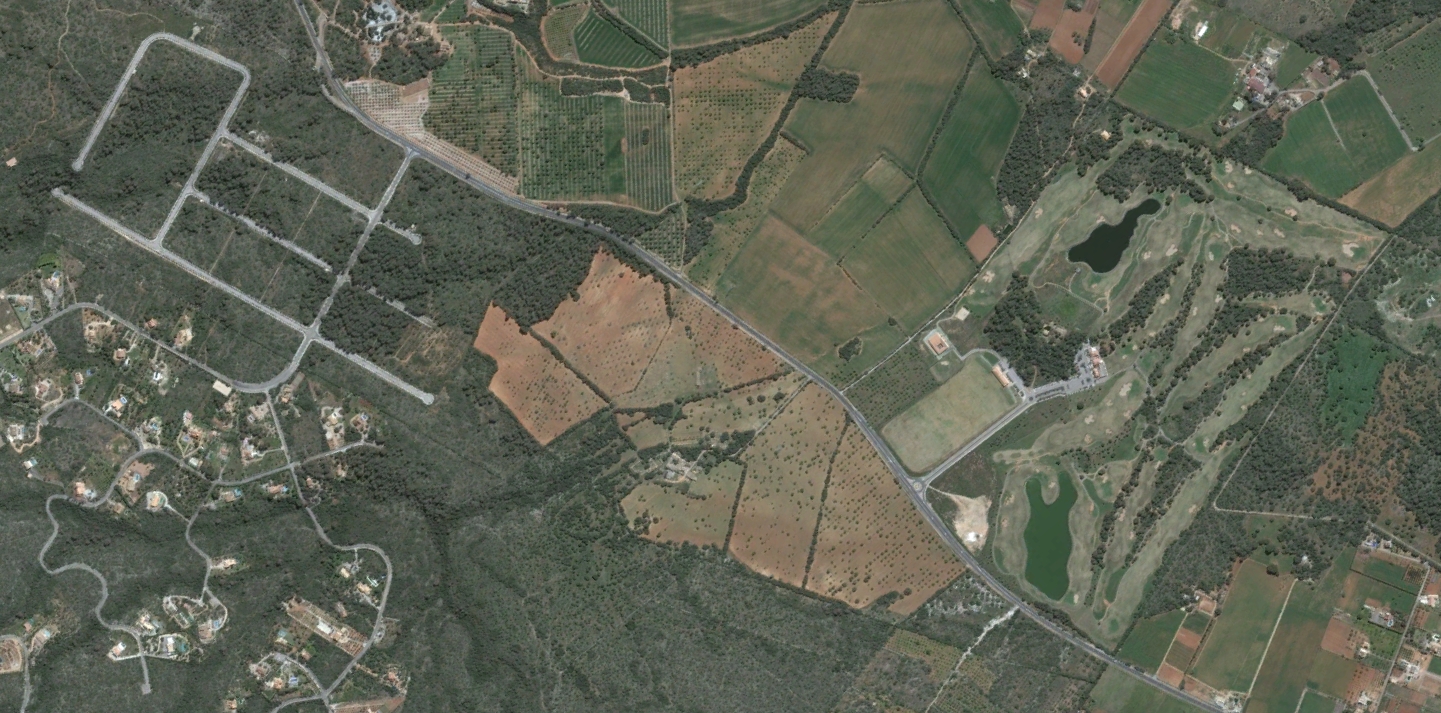
The photographic evidence captures the characteristic patterns of land use modification during this era: the conversion of open terrain into manicured golf facilities, the establishment of road networks including roundabouts, and the systematic restructuring of the Mediterranean landscape.