Aerial documentation captures landscape transformation in this Granada municipality between 2004 and 2012. The visual record reveals patterns of development and infrastructure expansion characteristic of the period.
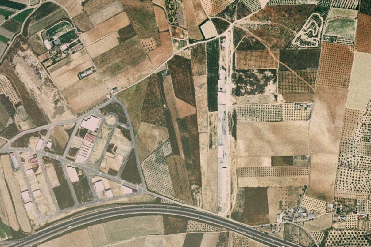
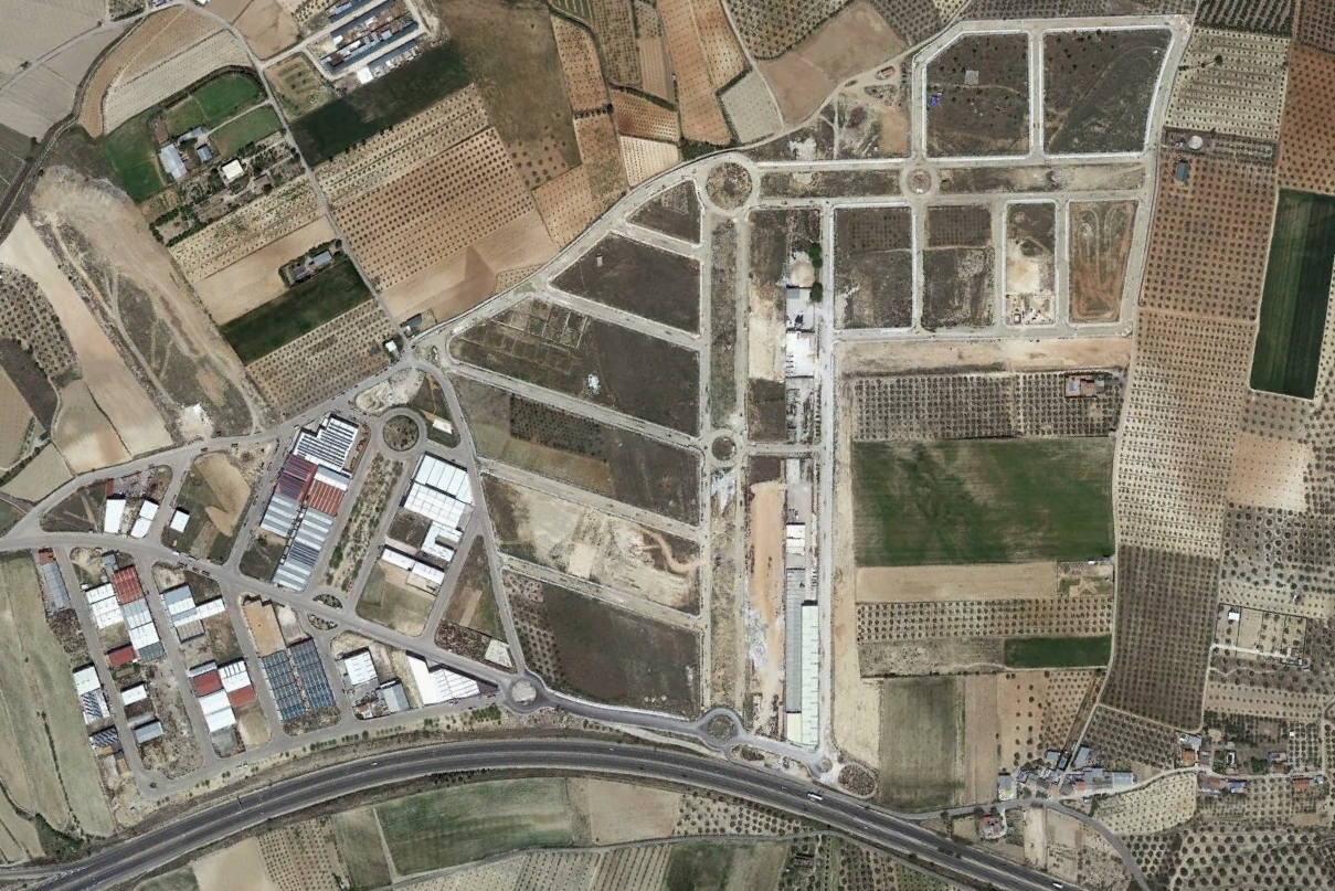
These comparative images document changes in land use patterns, road network development, and the emergence of new built structures within the territorial fabric.