Visual evidence of coastal territorial transformation along the Mediterranean shoreline between 2001 and 2012. These aerial photographs document the systematic expansion of built structures and infrastructure networks in what was previously agricultural and natural landscape.
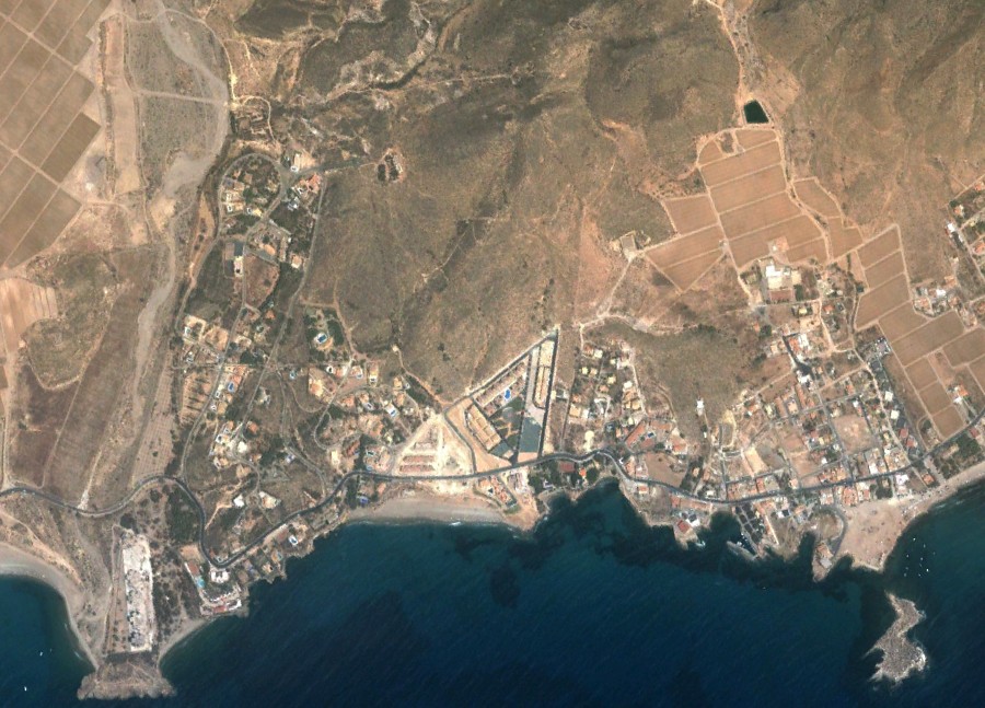
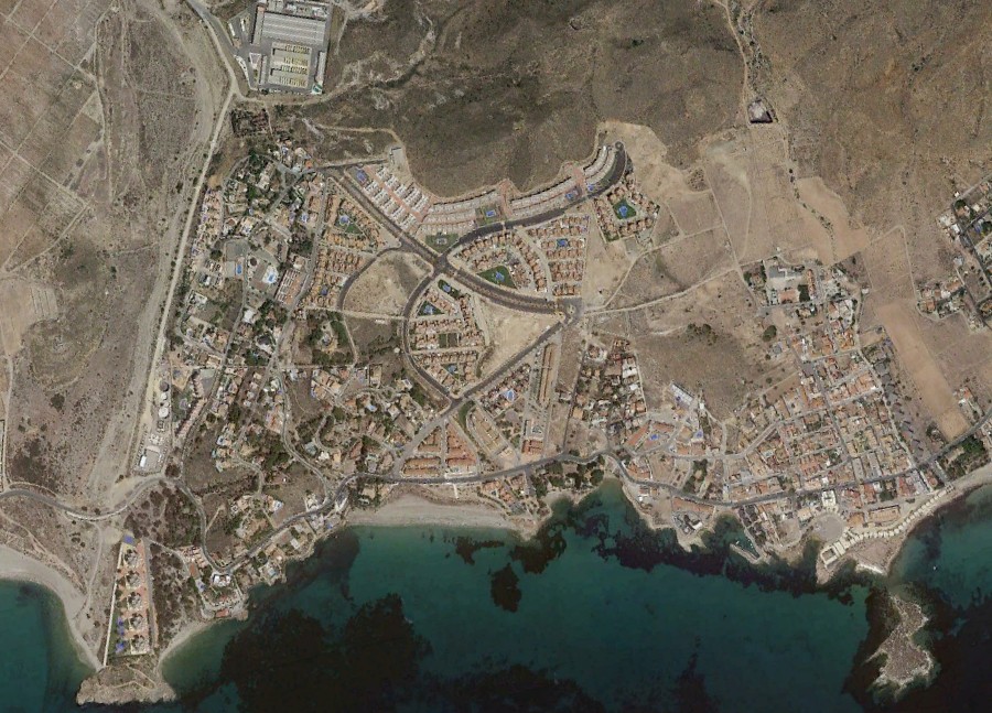
The comparative imagery reveals the emergence of residential clusters, roadway systems including characteristic traffic circulation elements, and the conversion of undeveloped terrain into organized urban patterns. This coastal section exemplifies broader developmental trends observed throughout southeastern Spanish municipalities during the early 21st century construction period.