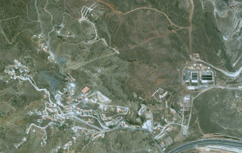
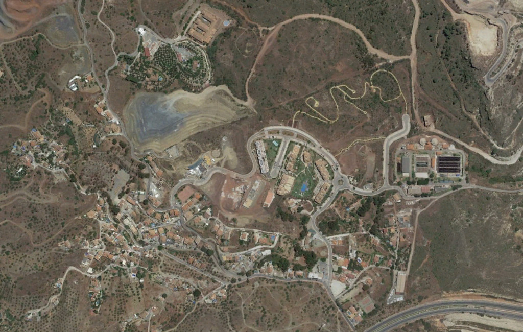
This comparative aerial analysis documents the physical transformation of Jarazmín in the Málaga province between 2001 and 2018. The before-and-after imagery reveals substantial changes to the territorial footprint and built environment patterns during this seventeen-year period.
The visual evidence captures the conversion of agricultural land to urbanized zones, demonstrating the characteristic development dynamics observed across coastal Málaga during the early 21st century real estate expansion.