This visual documentation examines the transformation of La Guindalera neighborhood in Madrid, capturing changes to the urban fabric between 2000 and 2012. The aerial imagery reveals alterations in land use patterns and the evolution of built environment structures during this period.
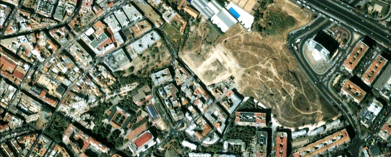
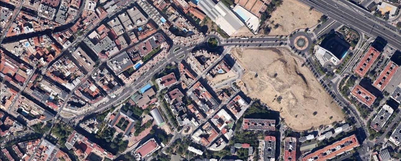
The comparative analysis highlights the district's development trajectory, offering insight into how metropolitan expansion manifests in specific urban locations.