Visual documentation captures the spatial transformation of this municipality adjacent to Zaragoza over a twelve-year period. The comparative imagery reveals patterns of suburban expansion and infrastructural development that reshaped the landscape between 2001 and 2013.
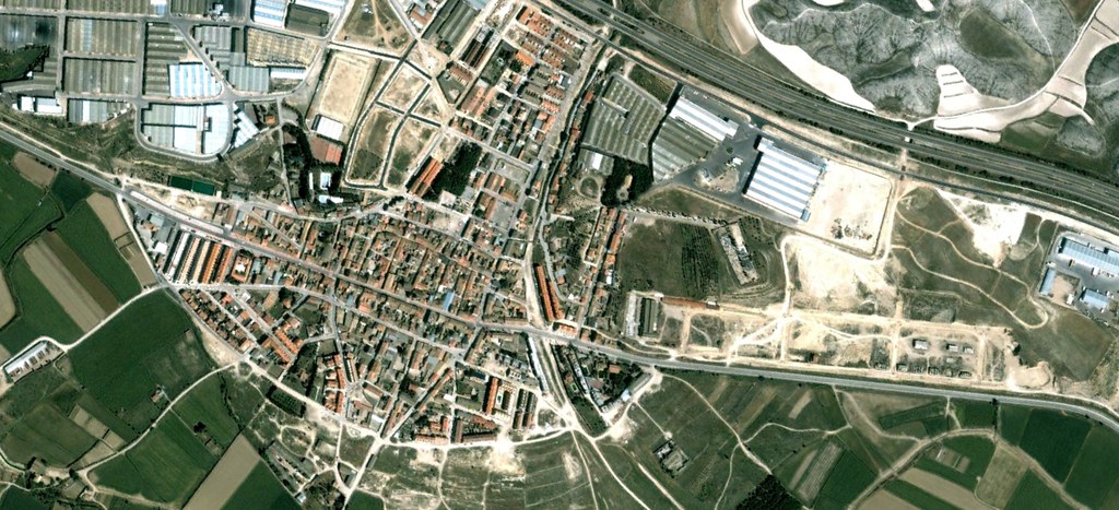
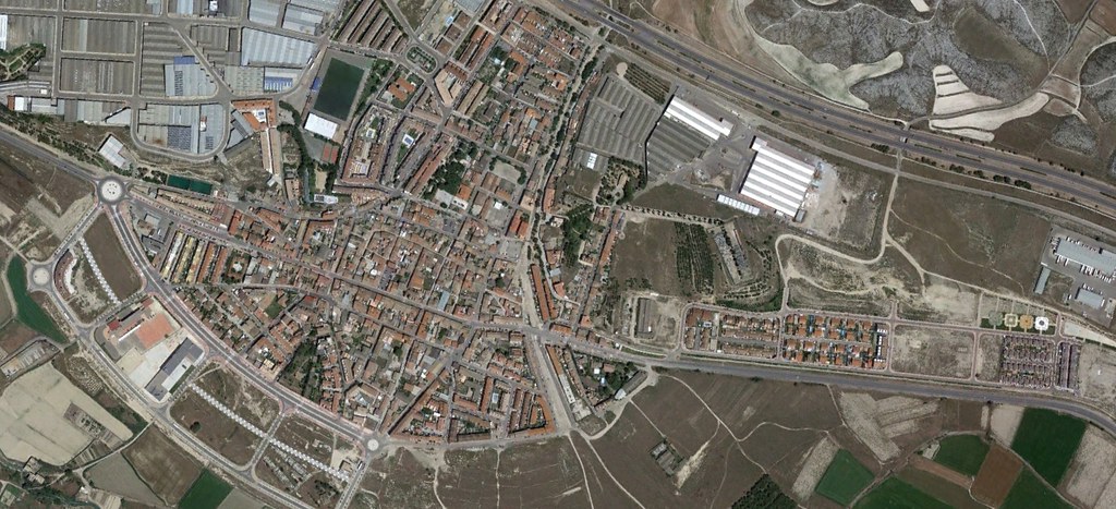
The satellite perspective documents the conversion of agricultural terrain into residential and commercial zones, accompanied by the construction of vehicular circulation systems characteristic of contemporary Spanish periurban development.