Visual comparison documenting territorial changes in the La Rasa area of Soria province between 2006 and 2014. The images reveal the evolution of land use patterns and infrastructure development during this eight-year period.
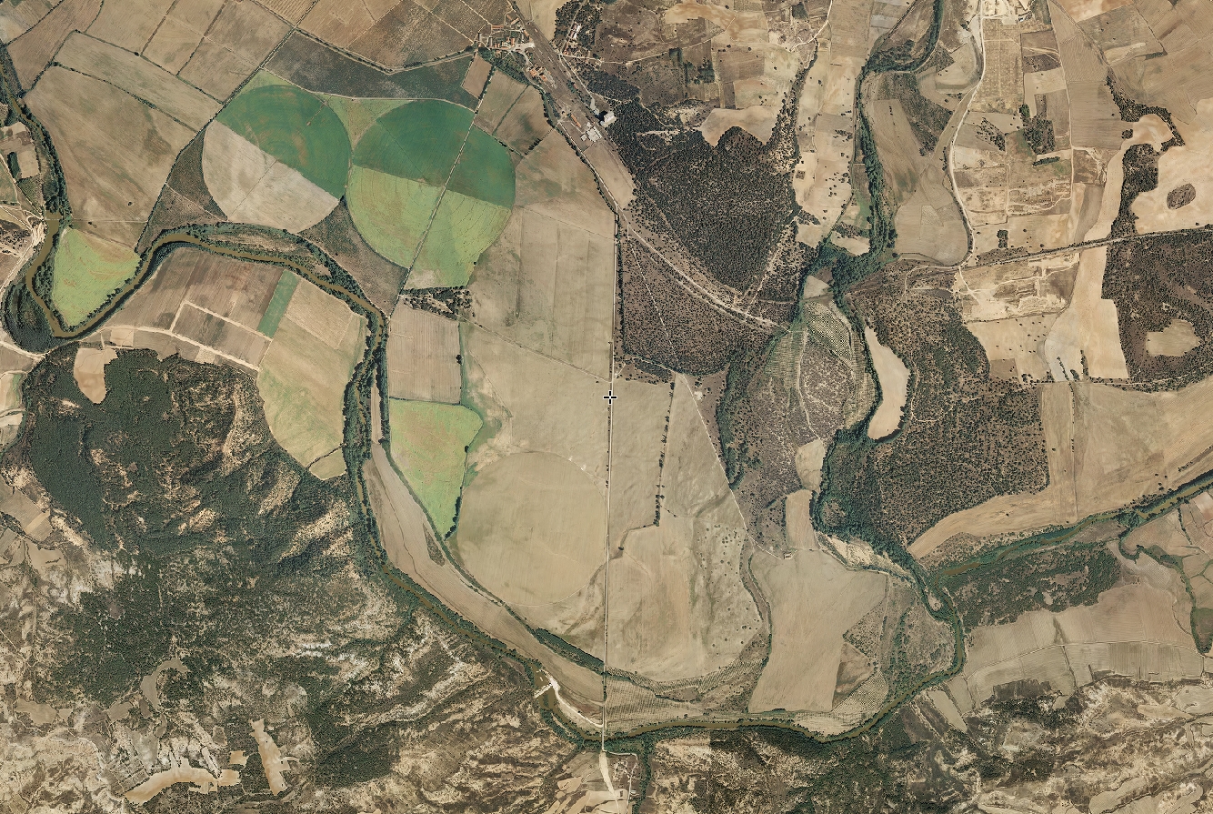
2006 - Before development
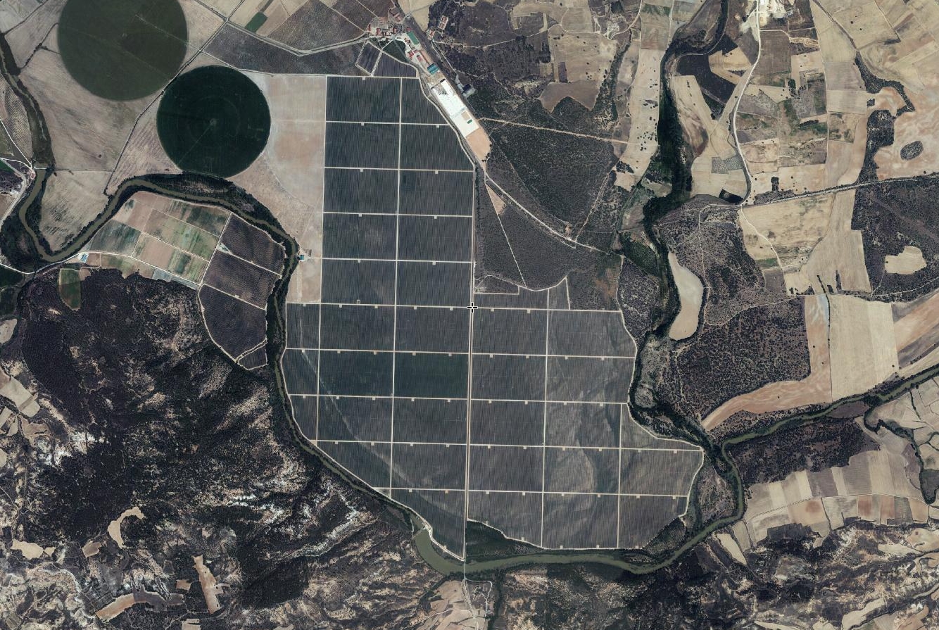
2014 - After transformation
These aerial photographs provide documentary evidence of how Spanish territory has been reshaped through urban planning initiatives and construction activity during the first two decades of the 21st century.