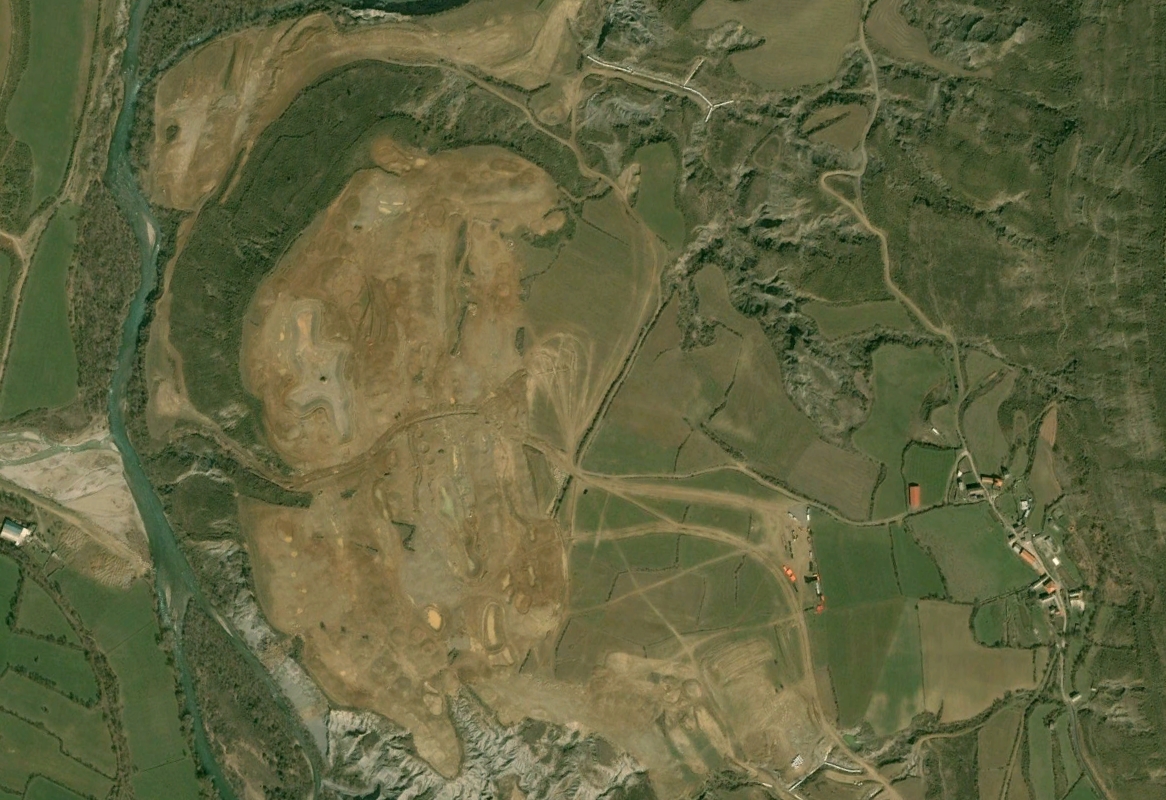
Visual documentation capturing the landscape evolution of Latas, a municipality in the province of Huesca, through comparative satellite imagery spanning a decade of territorial change.
2004
2014
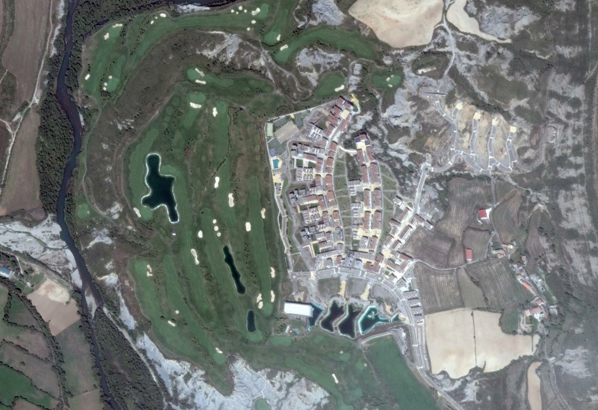
The comparative analysis reveals notable modifications to the territorial structure, with new road infrastructure and circulation patterns emerging across the previously undeveloped terrain.