A comparative visual examination reveals the territorial evolution of this area over a fifteen-year period. The landscape transformation documents the urban expansion patterns characteristic of early 21st-century Spanish development.
2002 - 2017 Visual Comparison
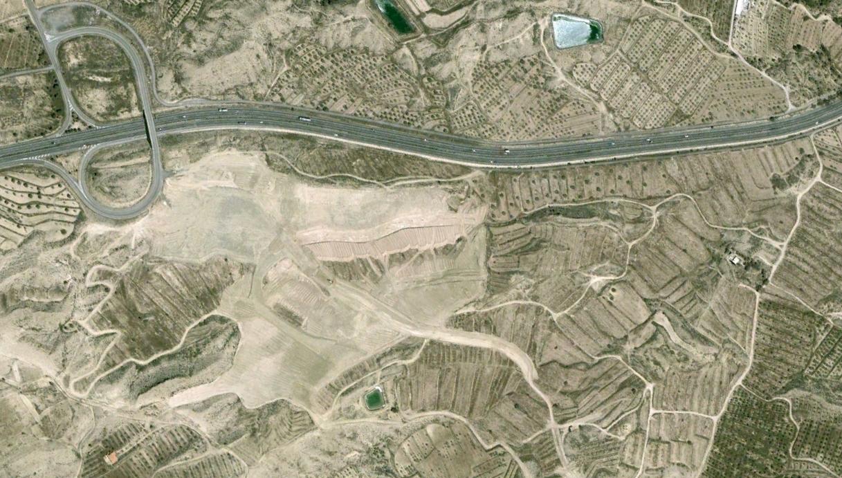
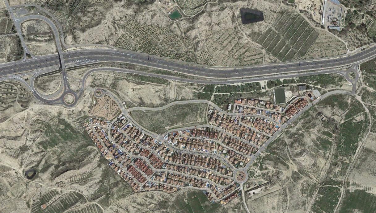
The aerial photography demonstrates the significant changes to land use patterns and infrastructure development in the Monte del Cid vicinity during this timeframe.