This visual documentation captures the territorial transformation in the Moriscos area of Salamanca province between 2006 and 2012. The landscape evidence shows the conversion of previously undeveloped terrain into built infrastructure.
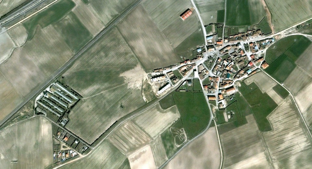
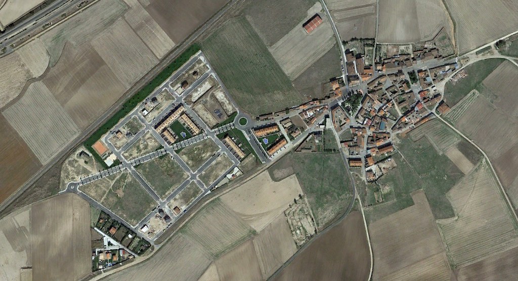
The comparative imagery documents the emergence of road infrastructure and circulation patterns characteristic of peripheral development during this period. The visual record provides evidence of land use modification in Spanish provincial contexts.