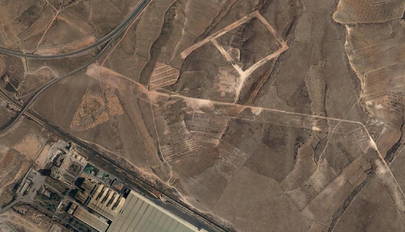
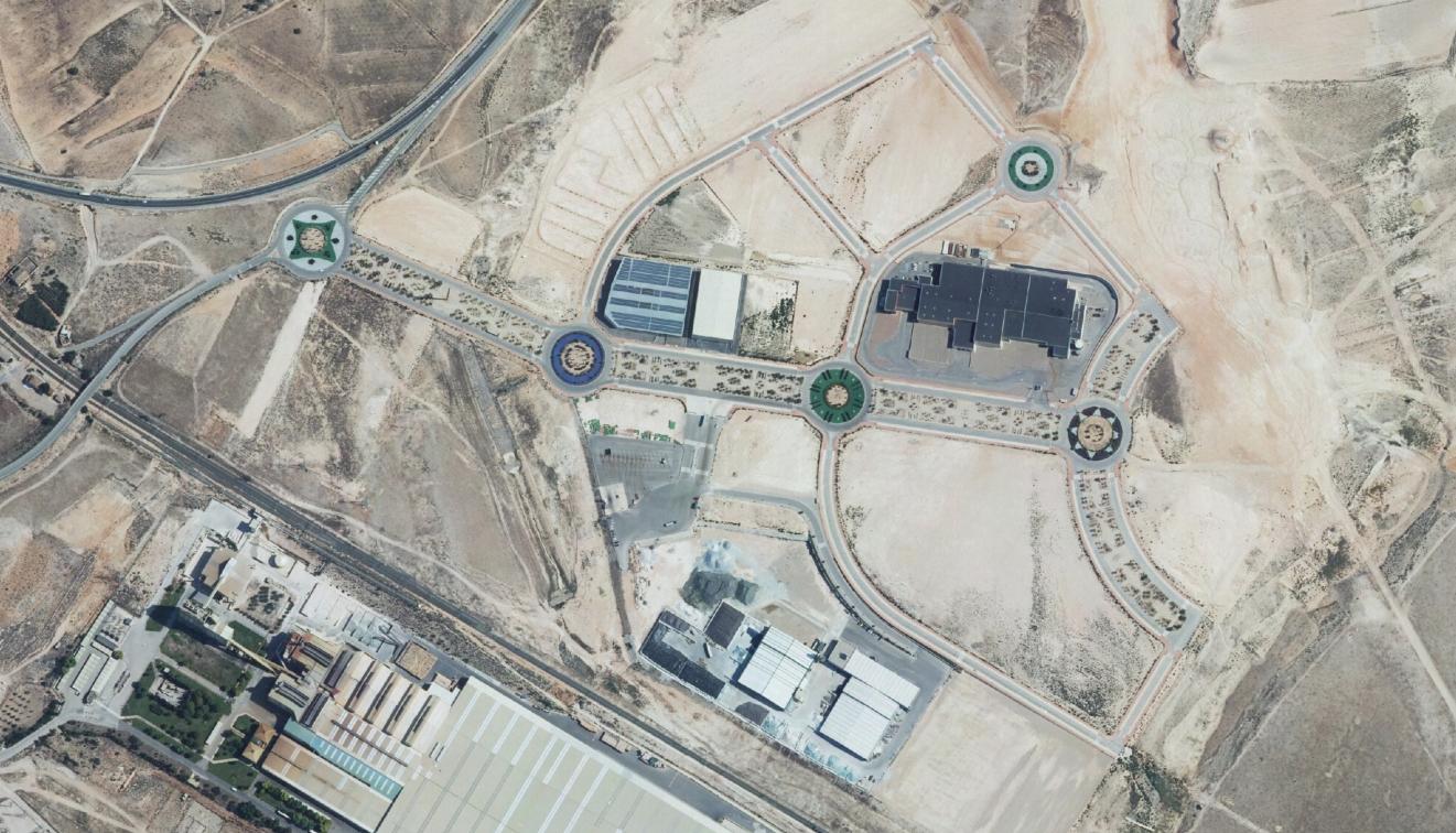
Visual documentation comparing landscape transformation over a nine-year period reveals significant alterations to the territorial fabric. Aerial imagery from 2006 and 2015 provides evidence of urban development patterns and infrastructure expansion in this location.