Territorio en Cambio
Displaying entries tagged with Radial 2. View all entries
March 2, 2015

R-2 Radial Highway, Madrid

Visual documentation of landscape transformation along the R-2 radial corridor northeast of Madrid's metropolitan area. The comparative imagery captures a decade of territorial development between 2002 and 2012, revealing patterns of suburban expansion radiating outward from the capital along this major transportation axis.

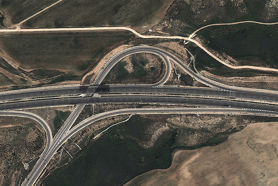
aerial photograph showing landscape before urban development, territorial planning context
aerial photograph documenting landscape after development, urban sprawl pattern analysis
View full documentation
Subscribe to: Entries (Atom)