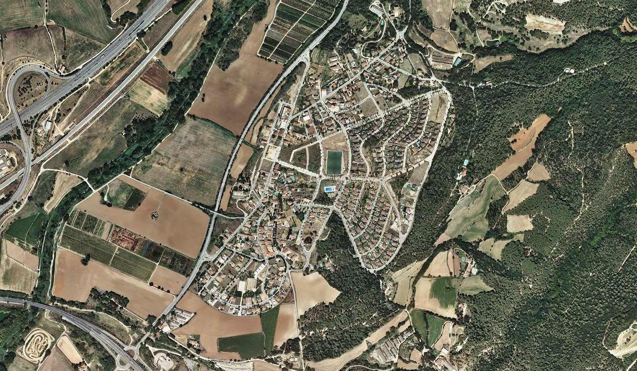
Visual documentation of territorial transformation in Santa Agnès de Malanyes reveals the pattern of landscape change characteristic of this region during the documented period. The comparative aerial imagery captures the evolution of land use and development patterns over a decade-long timeframe.
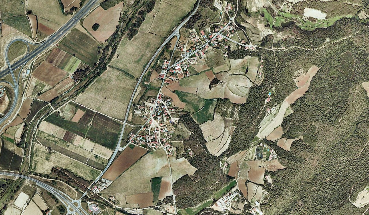
2000
2010
The imagery documents the physical changes to the landscape structure through comparative analysis of aerial photography. This visual record provides evidence of the transformation processes affecting territorial organization during the documented interval.