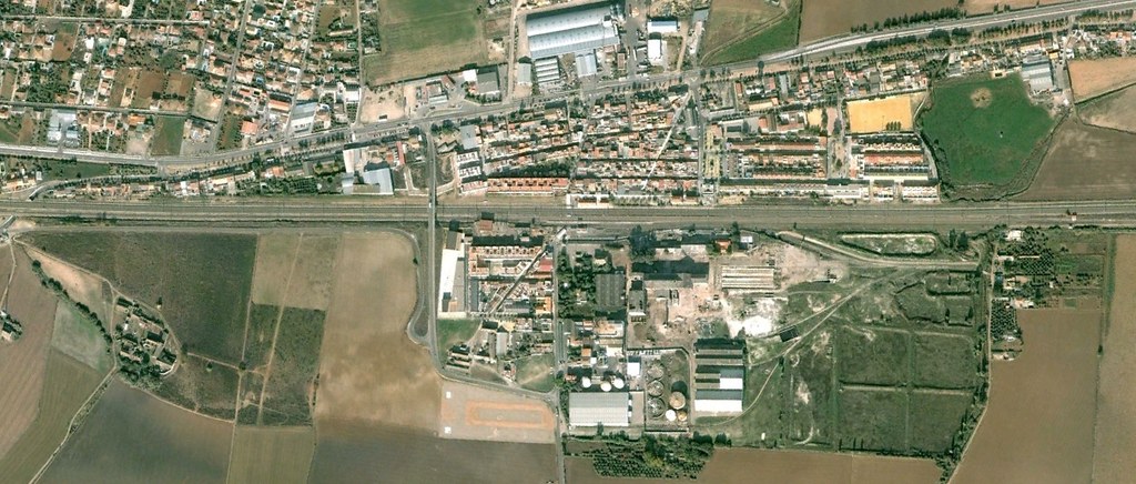
Visual documentation capturing the transformation of landscape patterns in Villarubia, located in the province of Córdoba. This comparative analysis presents aerial imagery from 2004 and 2011, illustrating the evolution of territorial configuration during a seven-year period of significant urban expansion.
2004
2011
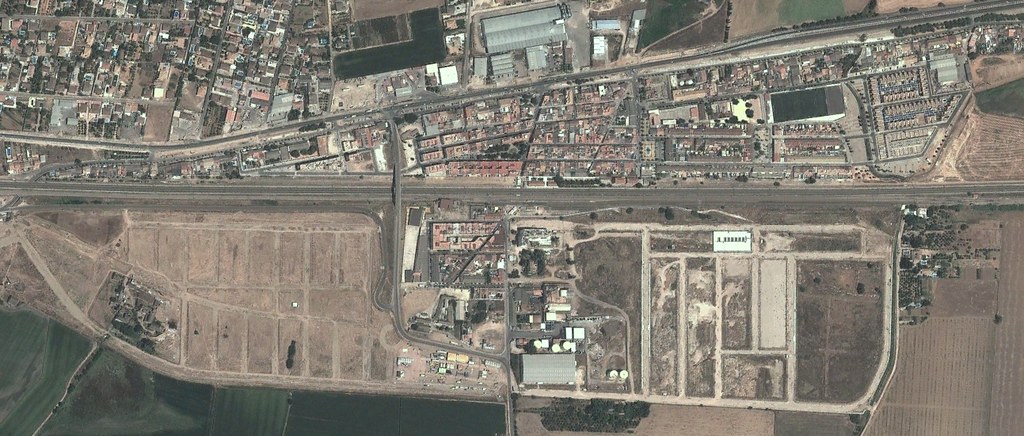
The imagery reveals substantial modifications to the territorial structure, with the emergence of new road infrastructure and circulation patterns characteristic of residential development projects initiated during Spain's construction boom.