Interactive comparison showing landscape transformation between 2003 and 2012
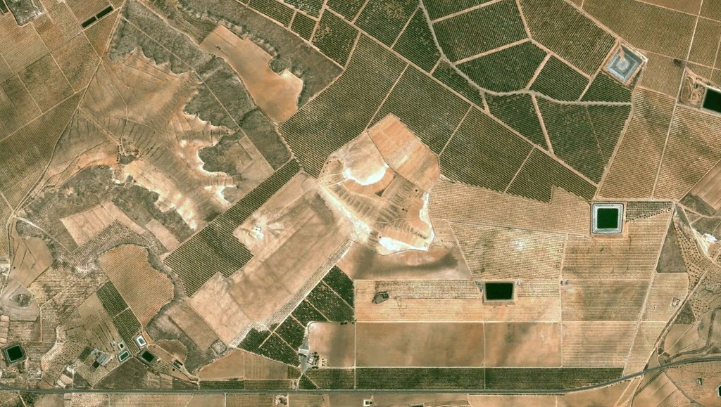
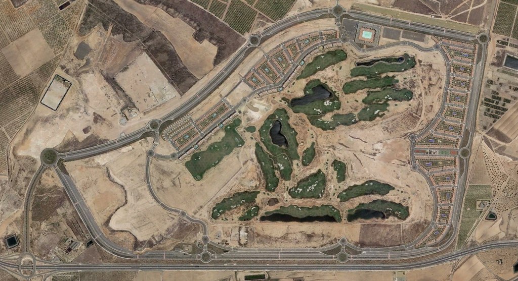
The aerial documentation captures the territorial transformation of the Alhama Signature Golf area in the Murcia region. The comparative imagery reveals the conversion of agricultural terrain into a planned golf resort development over a nine-year period.
The 2003 view presents predominantly rural land use, while the 2012 perspective documents the emergence of sports facilities, residential structures, and supporting road networks characteristic of golf-oriented urbanization in southeastern Spain.