Comparative visual analysis documenting landscape transformation between two distinct time periods in the Santa Cruz de la Palma area, located on the island of La Palma within the province of Santa Cruz de Tenerife.
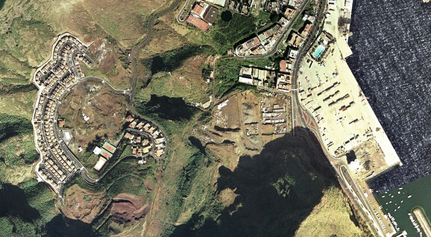
View from 2000 showing the original territorial configuration
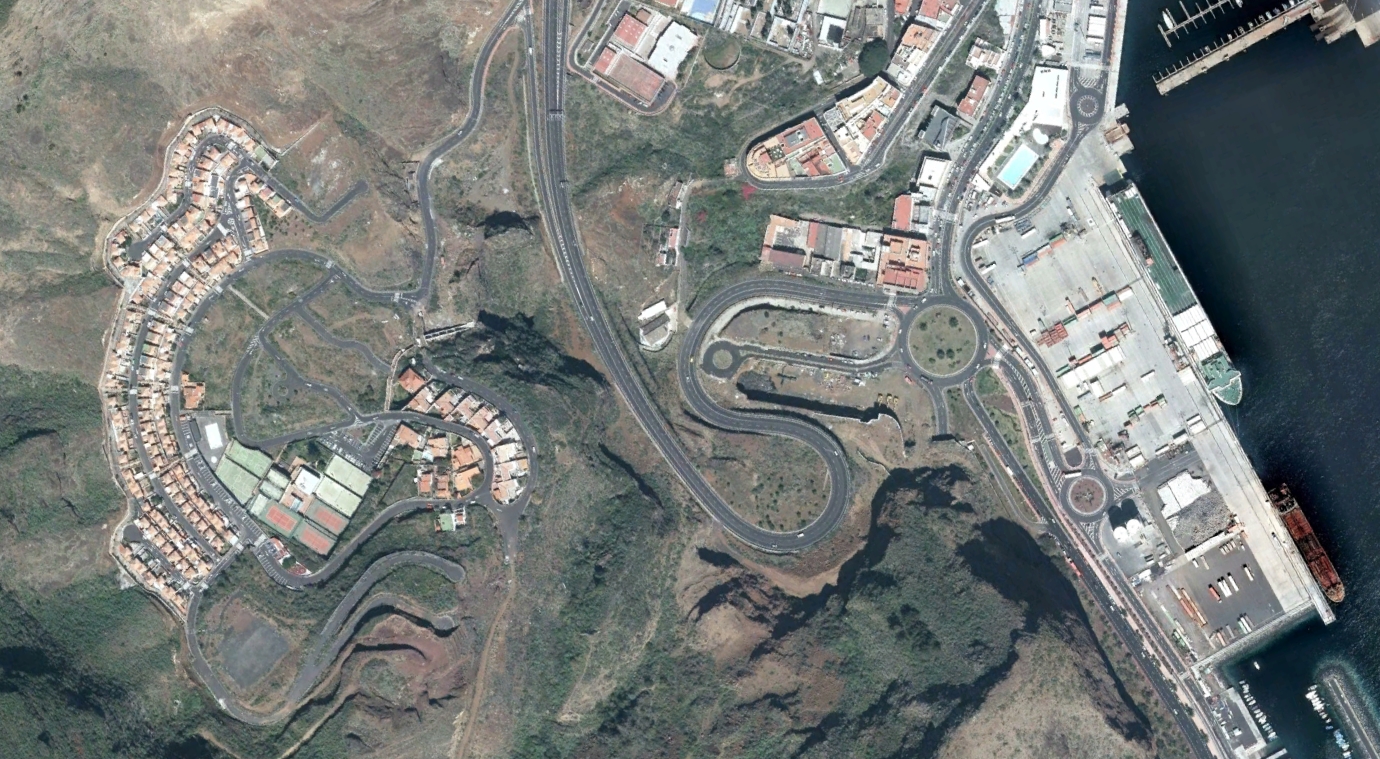
View from 2015 documenting infrastructural development and land use changes
This comparative documentation illustrates the territorial evolution occurring across a fifteen-year span, highlighting changes in road infrastructure and urban development patterns characteristic of early 21st-century Spanish territorial transformation.